What is recorded here
In pasture atop hill. Irregularly-shaped area (76m N-S; 58m E-W) enclosed by stone wall (H 1.2m Wth 1.6m). Interior traversed by numerous stone banks (average H 0.45m) forming no discernible pattern. Possible Man-made underground passage (CO123-056002-) in NW quadrant.
From the National Monuments Service (Archaeological Survey of Ireland) record CO123-056001
The monument record does not grant public access. Check the route and ask the landowner before entering private land.
- What survives
- Recorded monument
Places near here
Photo credits
- National Inventory of Architectural Heritage
- John M, Geograph · CC BY-SA 2.0
- Jean-Pol GRANDMONT, Wikimedia Commons · CC BY 3.0
- Draceane, Wikimedia Commons · CC BY-SA 4.0
- Hywel Williams, Geograph · CC BY-SA 2.0
- Steve Edge, Geograph · CC BY-SA 2.0
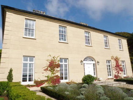 Burren HouseCountry house · 279 ydTobernasoolHoly well · 1078 ydAnchor from Cardiff Hall ShipHeritage attraction · 1080 yd
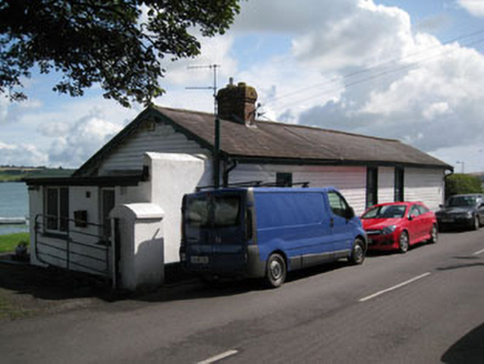 Lobster CottageRailway station · 1081 ydLusitania ModelHeritage attraction · 1094 ydEnclosure in BurrenEnclosure · 1161 yd
 Flaxfort StrandBeach / strand · 1254 ydRailwayMemorial · 1268 yd
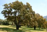 Cork oak1699 yd
 Chilean myrtle1757 yd
 Trinity WellSpring · 1.1 mi
 Broad StrandBeach / strand · 1.9 mi
More archaeology and monuments in County Cork · All of County Cork
What do you know about this place?