What is recorded here
In pasture, atop hill. Depicted as large, sub-rectangular, enclosure on OS 6-inch map (1842). Remains consist of raised circular area (40.9m N-S) defined by scarp (H 0.8m). Field boundary to E curves to respect enclosure.
From the National Monuments Service (Archaeological Survey of Ireland) record CO123-055
The monument record does not grant public access. Check the route and ask the landowner before entering private land.
- What survives
- Recorded monument
Places near here
Photo credits
- National Inventory of Architectural Heritage
- Hywel Williams, Geograph · CC BY-SA 2.0
- John M, Geograph · CC BY-SA 2.0
- Jean-Pol GRANDMONT, Wikimedia Commons · CC BY 3.0
- Draceane, Wikimedia Commons · CC BY-SA 4.0
- Garry Dickinson, Geograph · CC BY-SA 2.0
- A.-K. D., Wikimedia Commons · CC BY-SA 4.0
- Ingo Mehling, Wikimedia Commons · CC BY-SA 3.0
- Jonathan Thacker, Geograph · Creative Commons Attribution-ShareAlike 2.0
TobernasoolHoly well · 1042 yd The GlenHouse · 1155 ydBurren BridgeBridge · 1240 ydTrinity WellSpring · 1515 ydFlaxfort StrandBeach / strand · 1.0 miAnchor from Cardiff Hall ShipHeritage attraction · 1.2 miCork oak1.6 miChilean myrtle1.6 miTimoleague CastleCastle, tower house · 1.9 miTimoleague FriaryVisitor information · 2.0 miTimoleague AbbeyHeritage attraction · 2.0 miGraveyard2.0 mi
 The GlenHouse · 1155 yd
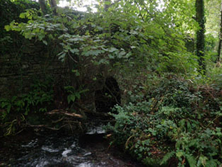 Burren BridgeBridge · 1240 yd
 Trinity WellSpring · 1515 yd
 Flaxfort StrandBeach / strand · 1.0 miAnchor from Cardiff Hall ShipHeritage attraction · 1.2 mi
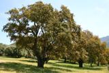 Cork oak1.6 mi
 Chilean myrtle1.6 mi
 Timoleague CastleCastle, tower house · 1.9 mi
 Timoleague FriaryVisitor information · 2.0 mi
 Timoleague AbbeyHeritage attraction · 2.0 mi
 Graveyard2.0 mi
More archaeology and monuments in County Cork · All of County Cork
What do you know about this place?