
Places near here
Photo credits
- Carbery Rangers club gallery; individual maker not named, carberyrangers.ie
- National Inventory of Architectural Heritage
- Maker not stated on source page, www.flickr.com
- Andreas F. Borchert, Wikimedia Commons · CC BY-SA 4.0
- Maker not stated on source page, 2pos.irish
 Carbery Rangers GAA pitchGAA ground · 1084 yd
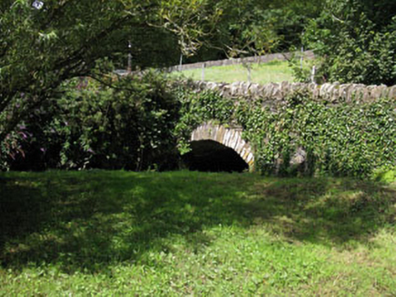 bridge1173 yd
Explorer Tom Bridge in Townlands at Rosscarbery was nearly sold for a horse once when the owner forgot how much money a horse costs…
 DolmenBoulder-burial · 1182 yd
Explorer Tom Dolmen in Burgatia is basically a giant stone table where a fiddler played until dawn, leaving his soul stuck in the…
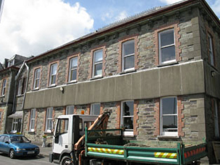 Sisters of Mercy ConventConvent/nunnery · 1202 yd
Explorer Tom Sisters of Mercy Convent in Ardagh East was built around 1910 to complement the older building. It’s got hipped roofs…
 school1378 yd
Explorer Tom School in Ardagh East served the community for over a century, now it’s just office space with big windows. The dance…
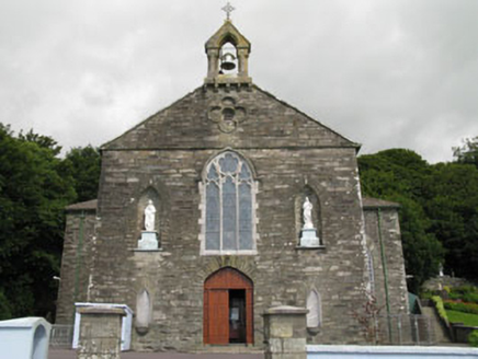 St Faughna's Roman Catholic ChurchChurch/chapel · 1459 yd
Explorer Tom St Faughna's Roman Catholic Church in Ardagh East, County Cork has a plain outside but a treasure trove inside.…
 Ivy CottageHouse · 1543 yd
Explorer Tom Ivy Cottage claims Queen Victoria stopped by for tea, but nobody can prove it because she ate all the biscuits. Its…
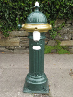 water pump1587 yd
Explorer Tom Water pump in Townlands is cast-iron and was once vital, now it’s just decorative plumbing. Locals swear if you kiss…
 St Fachtna's Church of Ireland CathedralCathedral · 1.0 mi
Explorer Tom St Fachtna's Cathedral has been a worship site for over 1400 years, which is a long time to keep the same address. It’s…
 St Fachtnas CathedralCathedral · 1.0 mi
Explorer Tom St Fachtnas Cathedral in Town Lands was founded by a saint who died around 600 AD. The current building is mostly 19th…
 Graveyard in Town LandsGraveyard · 1.0 mi
Explorer Tom Graveyard in Town Lands overlooks the estuary and a cathedral that’s seen better days, like my back after a long walk.…
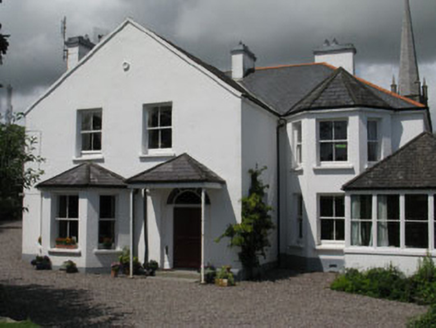 The DeaneryHouse · 1.0 mi
Explorer Tom The Deanery is basically Ross Cathedral’s office, but with better furniture. It’s got an imaginary fan club that only…
More archaeology and monuments in County Cork · All of County Cork

What do you know about this place?Tap to add a comment or ask a question