What is recorded here
Situated on a gentle W-facing slope. Described in 1838 OS Field Name Books as a 'pile of earth', and indicated on the OS 6-inch map (surveyed 1838) as a small unnamed mound (diam. c. 20m) with the symbol for a trigonometrial station on the top (684 feet OD). This mound is not shown on the OS 25-inch plan (surveyed 1907) and was probably removed by this date. This may be the feature referred to in the Book of Burgage Parish (Vol. 1, 244) as 'Burgagemore Moat'. The site of this mound was tested in 1996 for archaeological remains and 'No evidence of a monument or of any archaeological feature was discovered.' (Duffy 1996). Although there is every reason to consider that this mound may have been artificially constructed the results of the investigations in 1996 indicate that all trace of it had been removed, both above and below ground surface. (Grogan and Kilfeather 1997, 105, no. 718; Duffy 1997)
Compiled by: Paul Walsh
Date of upload: 24 January 2013
The monument record does not grant public access. Check the route and ask the landowner before entering private land.
- What survives
- Recorded monument
Places near here
 CrossCross, High cross (present location) · 309 yd
 Font (present location) in Burgage MoreFont (present location) · 341 yd
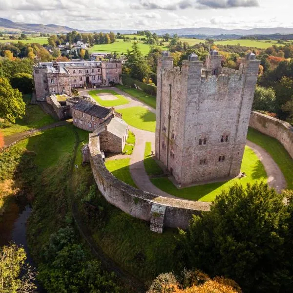 CastleCastle, ringwork · 644 yd
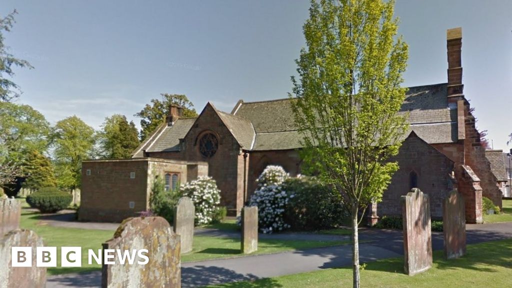 Church (in Ruins), Grave Yd., St. Marks Cross, HChurch · 920 yd
 Castle (in ruins)Castle, tower house · 956 yd
 Councillor Jim MileyMemorial · 1105 yd
 Proclamation of the Irish RepublicMemorial · 1148 yd
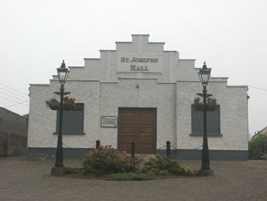 Saint Joesph's Hallchurch hall/parish hall · 1280 yd
 Blessington DemesneWood · 1.1 mi
 Deer Park PlantationForest · 1.3 mi
 Artisans WorkshopsHeritage attraction · 1.7 mi
 National Bird of Prey CentreHeritage attraction · 1.8 mi