What is recorded here
In walled garden on the demesne lands of Bulgaden Hall (LI040-056----). Linear earthwork running diagonally on a NE-SW axis visible on Bruff aerial photographs (Bruff AP 5 2116) and on oblique aerial photographs (ASIAP (349) 23) taken 05/01/2003. Cropmark of linear earthwork visible on OSi orthophoto taken between 2005-12. This linear earthwork is shown on 1897 ed. OSi 25-inch map as a tree-lined avenue leading to Bulgaden Hall. Remains of demesne landscape feature associated with Bulgaden Hall clearly visible on Google Earth orthoimages. Earthworks visible on orthoimage represent the remains of demesne landscape feature possibly a formal garden of uncertain date.
See attached ASIAP (349) 23 and Google Earth orthoimage.
Compiled by: Fiona Rooney
Date of upload: 30 April 2021
The monument record does not grant public access. Check the route and ask the landowner before entering private land.
- What survives
- Recorded monument
Places near here
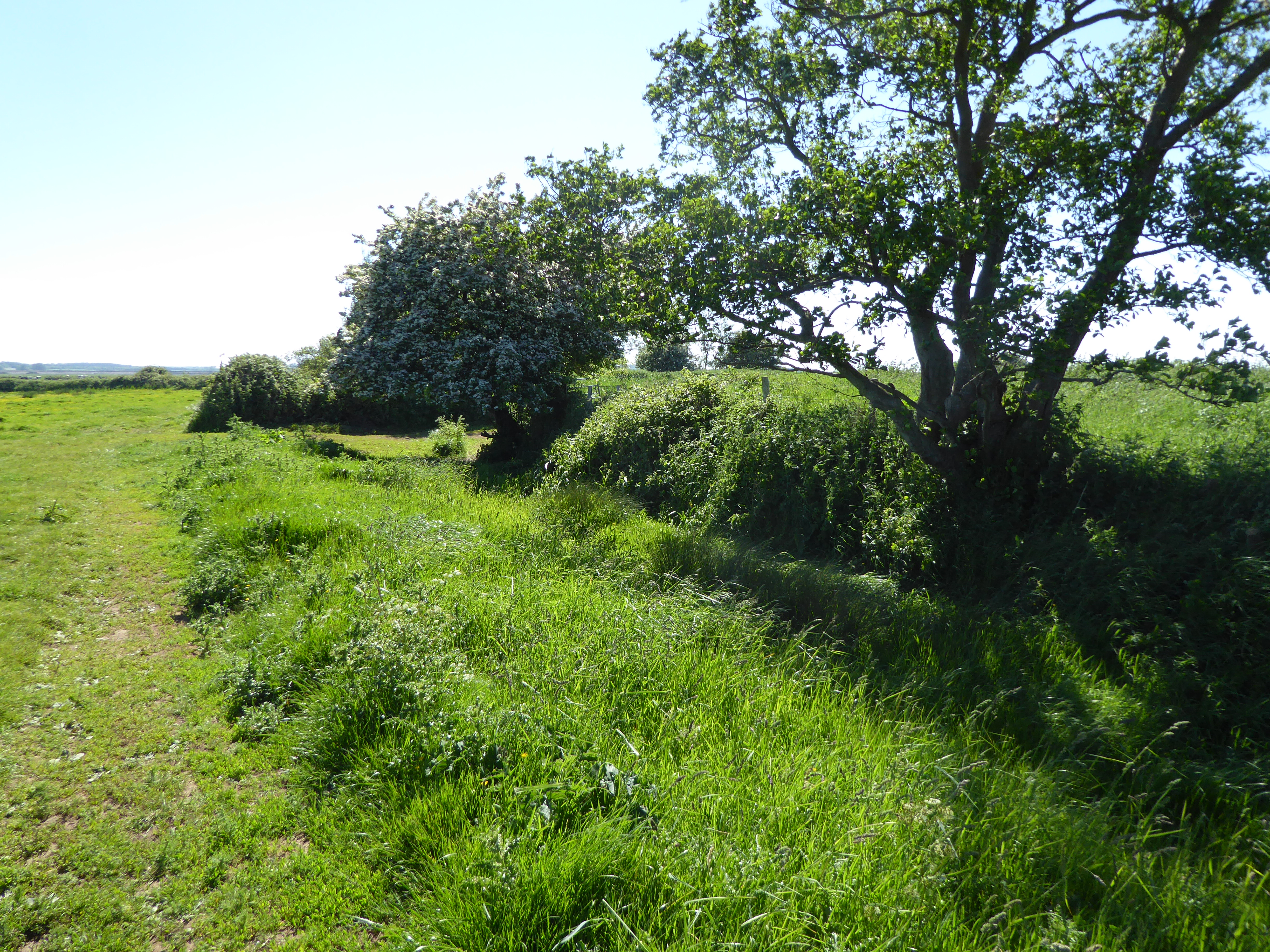 Site of Bulgaden HallCastle, unclassified · 171 yd
 Embanked enclosure in BulgadenhallEmbanked enclosure · 208 yd
 St Patricks WellHoly well · 256 yd
 Bulgaden Castle (in ruins)Castle, tower house · 1013 yd
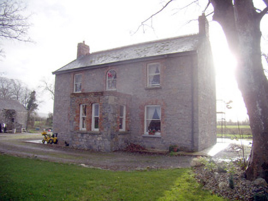 Lady Househouse · 1082 yd
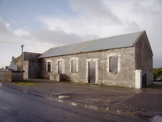 Bulgaden Creamerycreamery · 1612 yd
 KnockainyMountain / peak · 3.9 mi
 Flat cemetery in Knockainy WestFlat cemetery · 4.0 mi
 Ballinvreena LoopVisitor information · 4.6 mi
 Edmund's WellSpring · 4.8 mi
 St Patrick's WellSpring · 5.0 mi
 Ballyhoura tourist informationVisitor information · 5.5 mi