
What is recorded here
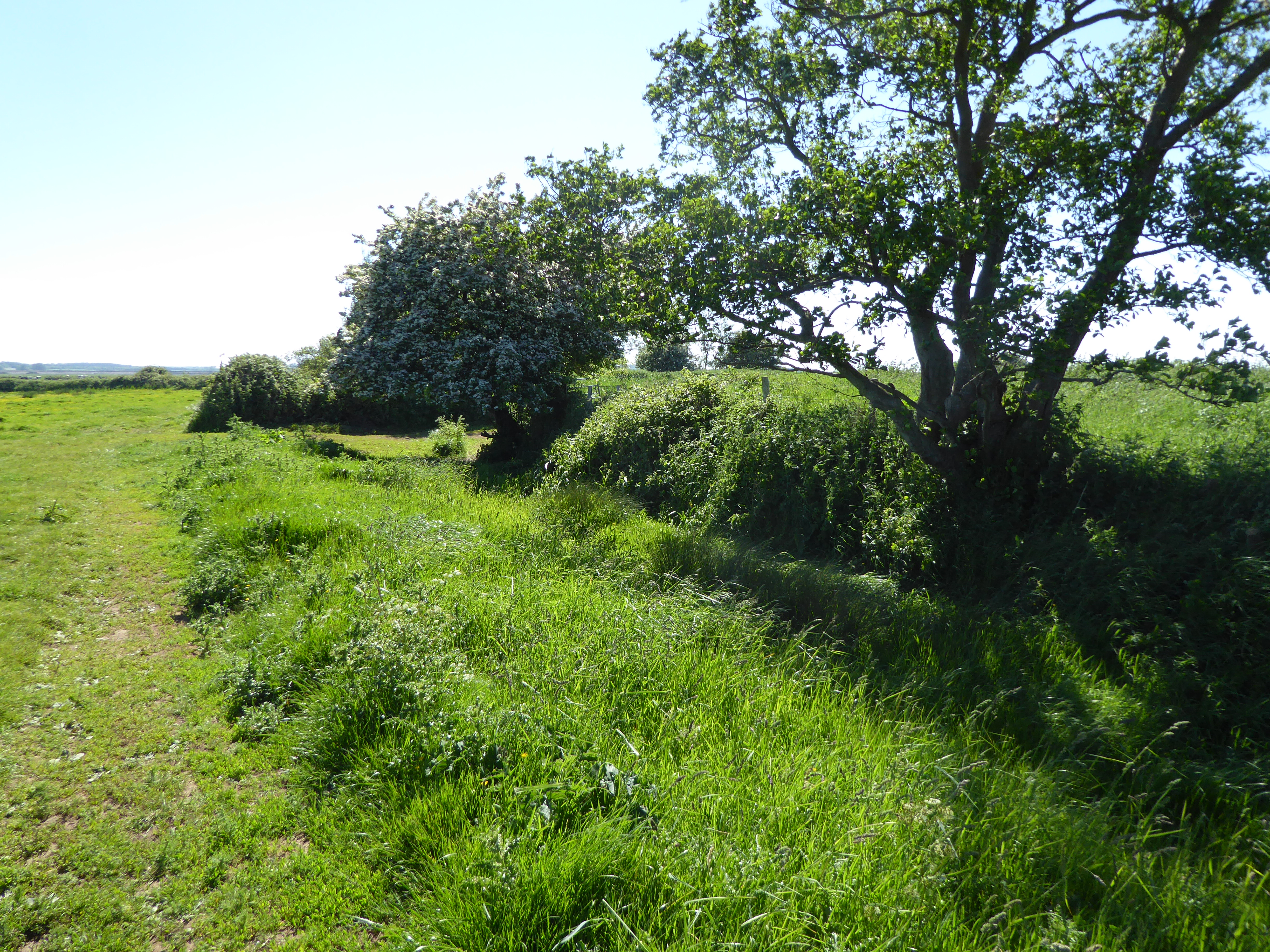
This site is located at the base of a long E facing slope in a level marshy area. Views are restricted to the W, due to slope and clear to the NE and SE. This is a large sub-circular enclosure (Dims. c. 70m E-W by c. 60m N-S) which is defined by a low, broad bank (Wth 9m, H 1.1m). There is a possible circular feature to the W of the interior.
Compiled by Geraldine Stout
Date of upload: 14/03/2012
See attached ASI aerial photographs ASIAP – 349/23 on 05/01/2003.
The monument record does not grant public access. Check the route and ask the landowner before entering private land.
- What survives
- Recorded monument
Places near here
 St Patricks WellHoly well · 162 yd
 Site of Bulgaden HallCastle, unclassified · 326 yd
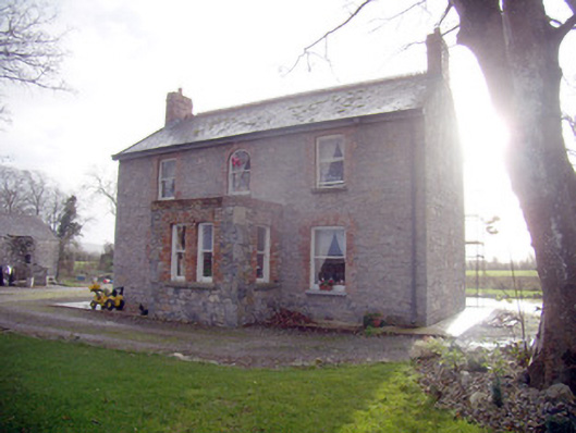 Lady Househouse · 911 yd
 Bulgaden Castle (in ruins)Castle, tower house · 1000 yd
 BarrowBarrow, unclassified · 1021 yd
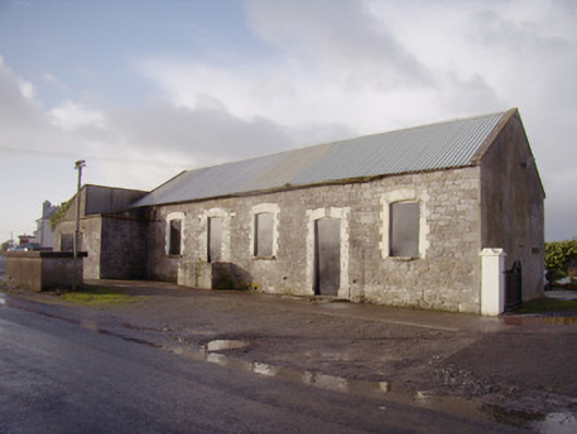 Bulgaden Creamerycreamery · 1617 yd
 KnockainyMountain / peak · 3.9 mi
 Flat cemetery in Knockainy WestFlat cemetery · 4.0 mi
 Ballinvreena LoopVisitor information · 4.5 mi
 Edmund's WellSpring · 4.7 mi
 St Patrick's WellSpring · 4.9 mi
 Ballyhoura tourist informationVisitor information · 5.4 mi
Other information
Photo: Credit not shown in the picture search · Rights wording not checked; contact us if this picture should be removed