
What is recorded here
Bulgaden Eady Castle is a ruined tower house in County Limerick, Ireland, held by Eady Lacy in 1583 and later given to Captain Massey after confiscation around 1652. Its thick walls, vaulted lower chamber and spiral stair still mark the field behind a school, while a wide ditch nearby probably defended the castle from the late medieval period into the 16th or 17th century. The place may have been busy once, with an orchard and cabins beside it, but now only its bones remain, holding the shape of a household that time has emptied.
Westropp (1906-7, 193) recorded the following details about Bulgaden Eady; 'There was a legendary Battle of Belgaden between Fiacha-Labhrain and Eochy, King of Munster, a.m. 3751. 1583 Edy. Lacy held Bulligidinea(dy), evidently called from his name (Inq. Exch., 11; and Des. R., 32). 1612 Odo, or Eady, Lacy, of Bruree, was granted the C[astle]. and manor of Boullygidinebeg or Ballygidineady (Pat. R.). 1655 See D.S. A., 50, 56. It was confirmed to Capt. Hugh Massy, 1666-7.
Fabric. - It measures 22½ feet [6.85m] by 18 feet [5.5m] , with walls 7½ feet [2.3m] thick, and has two doors to the south, the western leading to a spiral stair; the lower story is vaulted'. The 1654-56 Civil Survey of Limerick recorded that Henry Wall of Miltowne in Co. Cork, an Irish Papist was the owner in 1641 of Bulgaden Eady on which 'there is an old ruinous Castle' (Simington 1938, 236). A tower house like castle is depicted at Bulgaden Eady on the 17th century Down Survey map of Cpshlea barony (Hib. Reg.). Annotated 'Bulgiden Castle' on the Down Survey map of Athenesie and Kilbreedy Parish (NLI, MS 718). The terrier of this parish map recorded that in Bulgaden Eady there 'is a good Castle and orchard with severall Irish Cabins' (ibid.).
In November 2001 archaeological monitoring was carried out by Ken Wiggins under licence No. 03E0170 in a field close to Bulgaden Castle. The results of the monitoring were summarised as following; 'The remains of Bulgaden Castle stand just 11m from the north-eastern corner of the field. Groundwork associated with the construction of a single dwelling on the site was monitored in November 2001. A large ditch, aligned north-west to south-east, measuring 5-6.5m in width, was identified at the base of some of the foundation trenches for the dwelling. The surface of the ditch fill was not otherwise disturbed by the foundation layout, and construction work was allowed to continue on that basis. The ditch probably formed part of the defences of the castle during its occupation, from the late medieval period to the 16th/17th centuries' (Wiggins 2003).
Bulgaden Eady Castle described by Salter (2004, 69) as follows; 'In a field behind a school lies a tower measuring 11 .4m by 10m with a entrance facing SE and two double-splayed loops in the lowest level, whilst the second storey is vaulted. Nothing remains of the upper storeys reached by a straight stair in the SW wall. The castle was held by Eady Lacy in 1583. It was confiscated c 1652 and given to Captain Massey'.
See attached Down Survey map of Coshlea Barony, Athenesie and Kilbreedy Parish map.
Compiled by: Caimin O'Brien
Date of upload: 14 May 2021
Bulgaden Castle was held by the Lacy family in 1583 and is remembered for its association with early medieval Irish legend, including the Battle of Belgaden attributed to Fiacha-Labhrain and Eochy, King of Munster, though the date given (a.m. 3751) is in the "anno mundi" system and corresponds to a much earlier traditional date.
The monument record does not grant public access. Check the route and ask the landowner before entering private land.
- What survives
- Recorded monument
Places near here
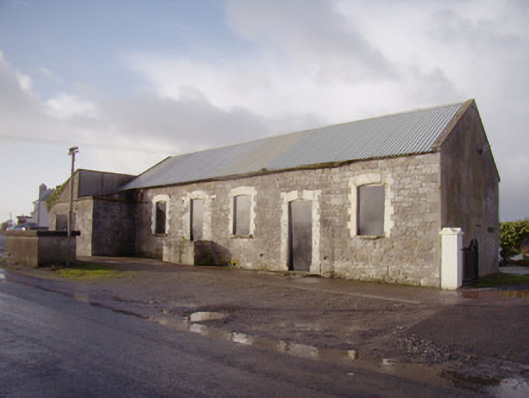 Bulgaden Creamerycreamery · 621 yd
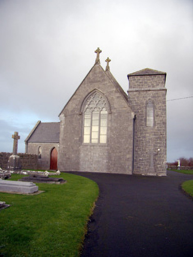 Catholic Church of Our Lady of the Assumptionchurch/chapel · 712 yd
 Rathbaun, HachuredFairy fort / earthen ringfort · 780 yd
 St Patricks WellHoly well · 838 yd
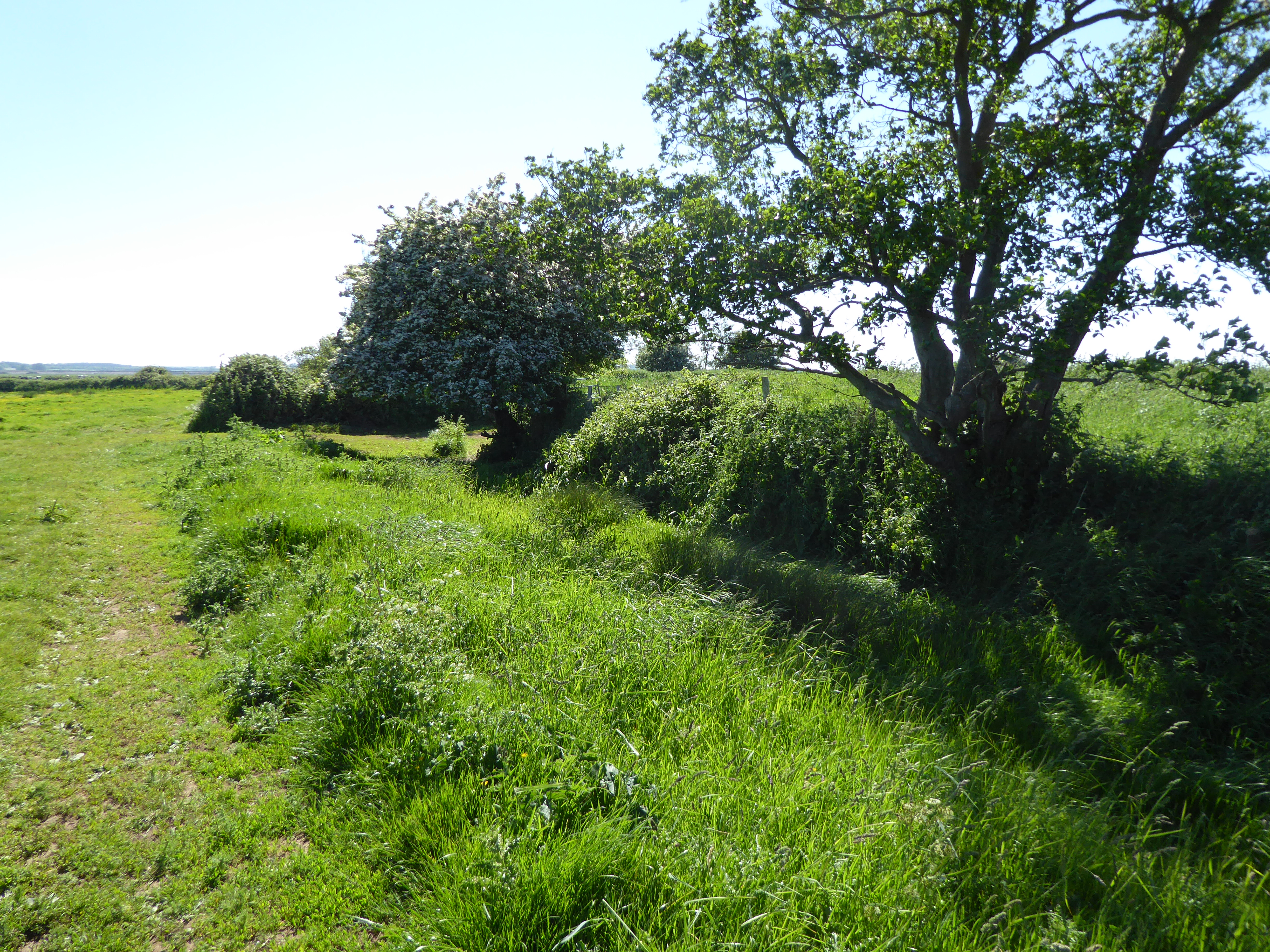 Site of Bulgaden HallCastle, unclassified · 885 yd
 Castle (in ruins)Castle, tower house · 1.5 mi
 Kilmallock AbbeyHeritage attraction · 2.4 mi
 Ballinvreena LoopVisitor information · 4.4 mi
 KnockainyMountain / peak · 4.4 mi
 Flat cemetery in Knockainy WestFlat cemetery · 4.5 mi
 Edmund's WellSpring · 4.9 mi
 Ballyhoura tourist informationVisitor information · 5.0 mi
Other information
Photo: Credit not shown in the picture search · Rights wording not checked; contact us if this picture should be removed