What is recorded here
In level tillage. Visible on an aerial photograph (CUCAP BDO 45 (1970)) as the cropmark of a broad fosse enclosing a rectangular area (est. c. 40m N-S; c. 30m W-E), possibly a moated site. No visible surface trace survives. A second levelled enclosure (KD035-034----) c. 40m to the WNW is also visible on the aerial photograph.
From the National Monuments Service (Archaeological Survey of Ireland) record KD035-035
The monument record does not grant public access. Check the route and ask the landowner before entering private land.
- What survives
- Recorded monument
Places near here
Photo credits
- National Inventory of Architectural Heritage
- Hello, I am Bruce on Flickr, Wikimedia Commons · CC BY-SA 2.0
- Andreas F. Borchert, Wikimedia Commons · CC BY-SA 4.0
- Sheila1988, Wikimedia Commons · CC BY-SA 4.0
- Malene Thyssen, Wikimedia Commons · CC BY-SA 3.0
- Alex Passmore, Wikimedia Commons · CC BY-SA 2.0
- Gerd Eichmann, Wikimedia Commons · CC BY-SA 4.0
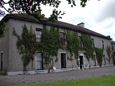 Leinster LodgeHunting/fishing lodge · 1.0 mi
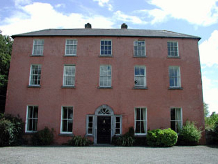 Dollardstown HouseFarm house · 1.1 mi
 Scots Pine2.0 mi
 Whites [sic] Castle, Police BarrackCastle, tower house · 2.6 mi
 Woodstock Castle (in Ruins)Castle, hall-house · 2.9 miGorden Bennet Race memorialMemorial · 3.1 mi
 European Beech3.1 mi
 History of Moat of ArdscullVisitor information · 3.1 miLorcán Ó TuathailMemorial · 3.8 mi
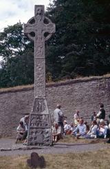 CrossCross, High cross · 4.1 mi
 Stone CrossCross, High cross · 4.1 mi
 Castledermot Round TowerHeritage attraction · 6.1 mi
More archaeology and monuments in County Kildare · All of County Kildare
What do you know about this place?