What is recorded here
Marked as a rectangular wooded enclosure on the 1839 ed. of the OS 6-inch map and as a moated enclosure on the 1940 ed. This is a rectangular area (dims. 31m E-W; 26m N-S) in mixed woodland defined by a flat bottomed moat (at N: Wth 7m; int. D 1.5m; ext. D c. 2.5m). There is a causeway (Wth 3m) at the NE corner and an outer bank (at N: Wth 4-5m; ext. H 1.7m) on each side. (Barry 1977, 51, WX 30)
The above description is derived from the published 'Archaeological Inventory of County Wexford' (Dublin: Stationery Office, 1996). In certain instances the entries have been revised and updated in the light of recent research.
Compiled by: Michael Moore
Date of upload/revision: 11 July 2012
The monument record does not grant public access. Check the route and ask the landowner before entering private land.
- What survives
- Recorded monument
Places near here
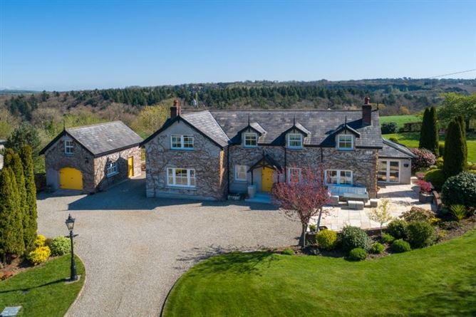 Borrmount Ho. (in ruins)House, 17th century · 134 yd
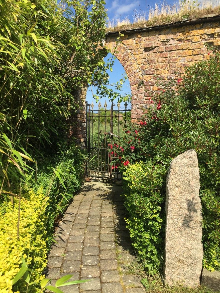 Enclosure in BorrmountEnclosure · 231 yd
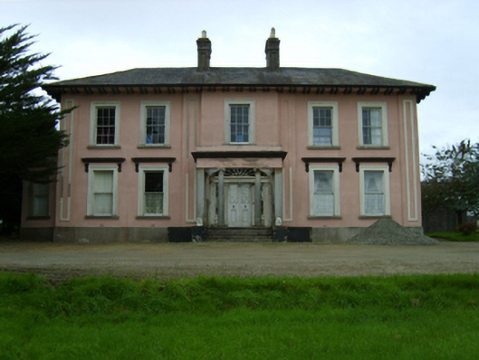 Borrmount Housecountry house · 631 yd
 Black Castle (in ruins)Castle, tower house · 885 yd
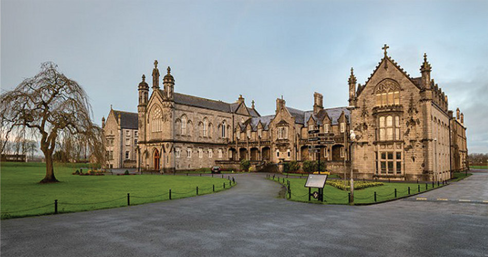 St. Kierans WellHoly well · 917 yd
 CastleCastle, ringwork · 1.3 mi
 Scurlocksbush HillMountain / peak · 1.6 mi
 King's IslandIsland · 1.9 mi
 Dick Joynt MemorialMemorial · 2.3 mi
 National 1798 CentreMuseum · 2.8 mi
 Battle of Vinegar HillMajor battlefield · 3.1 mi
 Duffry GateMemorial · 3.2 mi