What is recorded here
Marked as a rectangular wooded enclosure on the 1839 ed. of the OS 6-inch map and as a moated enclosure on the 1940 ed. This is a rectangular area (dims. 31m E-W; 26m N-S) in mixed woodland defined by a flat bottomed moat (at N: Wth 7m; int. D 1.5m; ext. D c. 2.5m). There is a causeway (Wth 3m) at the NE corner and an outer bank (at N: Wth 4-5m; ext. H 1.7m) on each side. (Barry 1977, 51, WX 30)
The above description is derived from the published 'Archaeological Inventory of County Wexford' (Dublin: Stationery Office, 1996).
From the National Monuments Service (Archaeological Survey of Ireland) record WX026-023
Places near here
Photo credits
- National Inventory of Architectural Heritage
- Garry Dickinson, Geograph · CC BY-SA 2.0
- David Purchase, Geograph · Creative Commons Attribution-ShareAlike 2.0
- George Cruikshank, Wikimedia Commons · Public domain
 Enclosure in BorrmountEnclosure · 231 yd
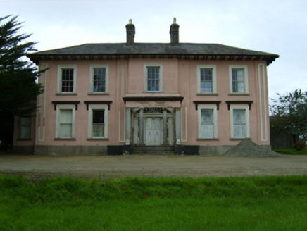 Borrmount HouseCountry house · 631 yd
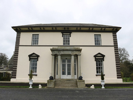 Edermine HouseCountry house · 838 ydBlack Castle (in ruins)Castle, tower house · 885 yd
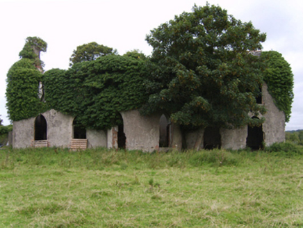 Kilgibbon HouseFarm house · 950 yd
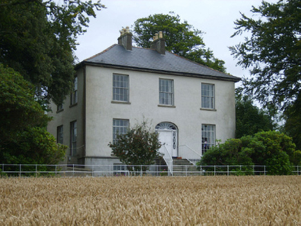 Rochfort HouseFarm house · 1038 yd
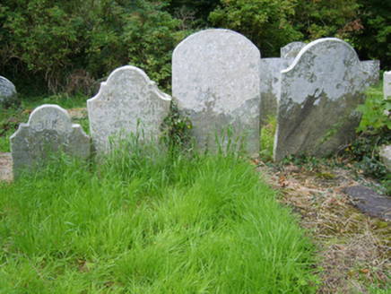 Edermine Church (Edermine)Graveyard/cemetery · 1172 yd
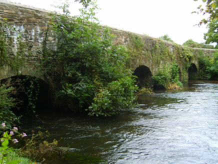 Kilcarbry BridgeBridge · 1703 yd
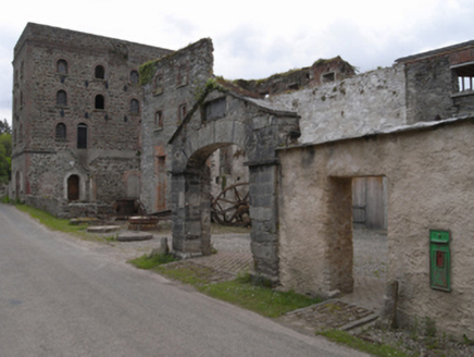 Kilcarbry Corn MillMill (water) · 1.0 mi
 Wilton HouseCastle, unclassified · 2.0 mi
 Clonmore Grave YardGraveyard · 2.7 mi
_p184_Defeat_at_Vinegar_Hill_(cropped).jpg/250px-MAXWELL(1845)_p184_Defeat_at_Vinegar_Hill_(cropped).jpg "Photo: George Cruikshank, Wikimedia Commons · Public domain") Battle of Vinegar HillMajor battlefield · 3.1 mi
Battle of Vinegar HillMajor battlefield · 3.1 miMore archaeology and monuments in County Wexford · All of County Wexford
What do you know about this place?Tap to add a comment or ask a question