What is recorded here
Situated immediately E of a small road on a S facing slope in the valley of a small tributary of the Mulkear River. An irregular area (c. 2.6m N-S; 2.3m E-W) enclosed by a wall of concrete blocks (H 0.9m) is filled with water to ground level. In the National Museum of Ireland Topographical files, the site is referred to as 'a well, supposed to be holy and called St. Brigid's'.
Compiled by: Denis Power
Date of upload: 20 June 2013
The monument record does not grant public access. Check the route and ask the landowner before entering private land.
- What survives
- Recorded monument
Places near here
 Enclosure in BohergarEnclosure · 23 yd
 Site of Burial GroundBurial ground · 377 yd
 Saint Patrick's Catholic Churchchurch/chapel · 1108 yd
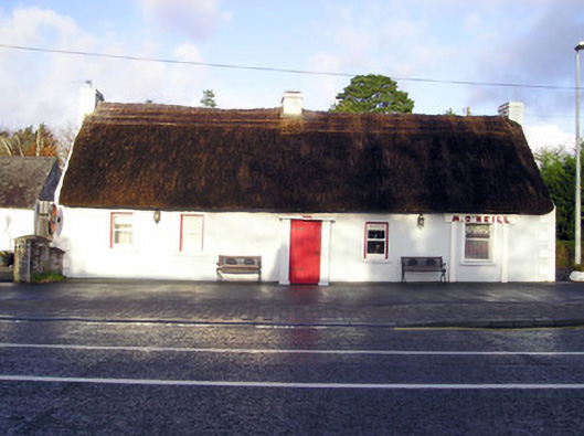 M. O'Neillhouse · 1226 yd
 Graveyard in AbingtonGraveyard · 1.4 mi
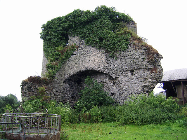 CastleCastle, motte and bailey · 1.5 mi
 Castle (in ruins)Castle, Anglo-Norman masonry castle · 1.5 mi
 Sliev Felim WayVisitor information · 2.9 mi
 KnockseefinMountain / peak · 5.1 mi
 Slieve Felim WayWalking route · 5.8 mi
 ToberagaddySpring · 6.1 mi
 St. Patrick's WellSpring · 6.5 mi