
What is recorded here
Situated on a S-facing slope in gently rolling pasture, with good views in all directions. The monument is marked on the 1840 OS map as a circular area (diam. c. 40m) named 'Site of Burial Ground'. A find of human bones at this location is referred to in The Ordnance Survey Letters. There is was no evident trace of the monument at the site when inspected. The immediate area has been quarried in the past and some small scale quarrying appears to have taken place recently.
Compiled by: Denis Power
Date of upload: 20 June 2013
Neolithic passage tomb; dates to the 4th–3rd millennium BCE. Its significance lies in its association with early burial practices and the presence of human remains, indicating its role in prehistoric funerary rituals.
The monument record does not grant public access. Check the route and ask the landowner before entering private land.
- What survives
- Recorded monument
Places near here
 Enclosure in BohergarEnclosure · 359 yd
 IndicatedEnclosure · 1176 yd
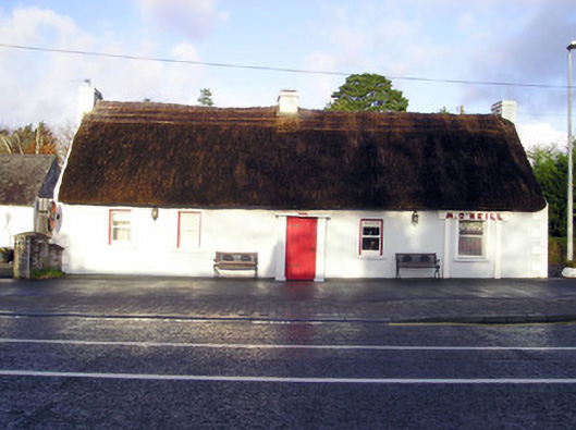 M. O'Neillhouse · 1312 yd
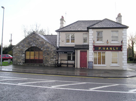 P. Hanlyhouse · 1379 yd
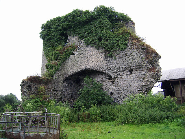 CastleCastle, motte and bailey · 1.3 mi
 Castle (in ruins)Castle, Anglo-Norman masonry castle · 1.3 mi
 Graveyard in AbingtonGraveyard · 1.5 mi
 Sliev Felim WayVisitor information · 3.0 mi
 KnockseefinMountain / peak · 4.9 mi
 Slieve Felim WayWalking route · 5.8 mi
 ToberagaddySpring · 5.9 mi
 St. Patrick's WellSpring · 6.3 mi
Other information
Photo: Credit not shown in the picture search · Rights wording not checked; contact us if this picture should be removed