
What is recorded here
At NE end of NE-SW glacial ridge in flat wet grassland with good views in all directions. No surface remains of any enclosure in area marked on latest ed. OS 6-inch map. Depicted on first ed. OS 6-inch map as an oval-shaped grove of trees rather than as an antiquity. This may have been a landscape feature or a source of timber for the osiery which was located in the field to the SE of the grove of trees. This grove of trees was located on the only dry ridge in wet marshy terrain, suitable location for a plantation of trees.
Compiled by: Jean Farrelly
Date of upload: 26 August 2011
A local fairy fort (ringfort/rath); wider significance not recorded.
The monument record does not grant public access. Check the route and ask the landowner before entering private land.
- What survives
- Recorded monument
Places near here
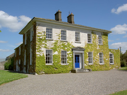 Drummona Houserectory/glebe/vicarage/curate's house · 1617 yd
 TobernakillaHoly well · 1.0 mi
 Wych ElmWych Elm · 1.0 mi
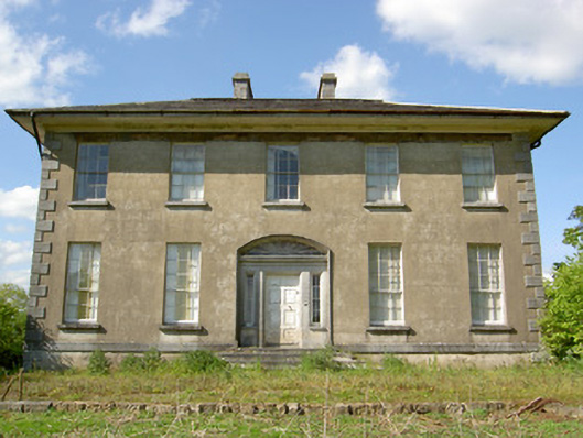 Grene Parkcountry house · 1.0 mi
 Parknamoe FortFairy fort / earthen ringfort · 1.1 mi
 Woodcock GroveWood · 1.1 mi
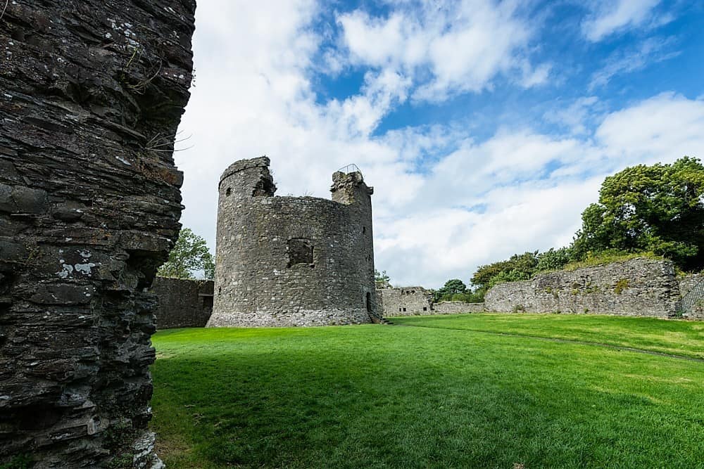 Site of CastleCastle, unclassified · 1.2 mi
 Ballagh CastleCastle · 1.5 mi
 Clonoulty HillMountain / peak · 3.5 mi
 Ring HillMountain / peak · 4.8 mi
 The Maid of ErinMemorial · 9.0 mi
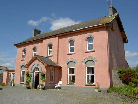 Cappamurracountry house · 1.1 mi
Other information
Photo: Credit not shown in the picture search · Rights wording not checked; contact us if this picture should be removed