What is recorded here
Situated in a low-lying landscape and c. 400m W of Siddan church (ME006-056001). According to the Civil Survey (1655) in 1640 Walter Evers owned 172 acres at Bingerstown where there was a stone house and a mill, both described as wasted (Simington 1940, 360). The house mentioned is unlikely to be this structure that…
Read the whole record
From the National Monuments Service (Archaeological Survey of Ireland) record ME006-041
Places near here
Photo credits
- National Inventory of Architectural Heritage
- Sitomon, Wikimedia Commons · CC BY-SA 2.0
- Wanfried-Dublin, Wikimedia Commons · CC BY-SA 4.0
- Kieran Campbell, Geograph · Creative Commons Attribution-ShareAlike 2.0
- Garry Dickinson, Geograph · CC BY-SA 2.0
- Alvesgaspar, Wikimedia Commons · CC BY-SA 3.0
- Nuala Furley, Wikimedia Commons · CC BY-SA 4.0
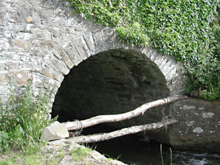 bridge289 yd
Explorer Tom Bridge in Benjerstown has strict rules: no jumping, no wading, and absolutely no asking for refunds. It’s just a simple slab pretending to be an engineering marvel. Go on a wet day, it suits the mood perfectly.
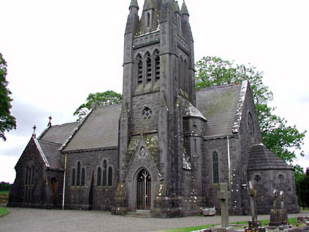 Saint David's Church (Siddan)Church/chapel · 453 yd
Explorer Tom Saint David's Church in Siddan has a plan that confuses even the locals. There’s a shortcut through the graveyard that’s actually just a long way round. Ask a neighbour which side of the fence is the 'fast' lane!
Site of Siddan castleCastle, unclassified · 575 ydGun HillMountain / peak · 902 ydUgly HillMountain / peak · 2.7 mi European Yew3.0 mi
Explorer Tom This European Yew is feuding with the next village over something daft, probably about who has the better shade. It’s been going on for years and nobody really cares anymore. Practise your Irish on it, it won't correct you.
 Druids AltarPortal tomb · 3.1 mi
Explorer Tom Druids Altar in Rathkenny hosted a fiddler who played all night without stopping. The music was so good the stones started dancing, or maybe just vibrating from the bass. Give it a pat on the way past, it's had a long life.
 Grave YardGraveyard · 3.2 mi
Explorer Tom Graveyard in Knock wants a New Year’s resolution: to stop being so rectangularly boring and start acting mysterious again. The cross and font are there, but the church is basically a ghost. Go before the tourists find out.
 CastleCastle, tower house · 3.5 mi
Explorer Tom Smarmore Castle thinks tourists from Dublin are too loud and don’t know how to hold a pint. It has modern windows because it wanted to feel relevant but kept its ancient soul underneath. A good place to forget your phone for ten minutes.
Nobber GreenwayMemorial · 4.1 mi Common Lime4.8 mi
Explorer Tom Common Lime in County Meath would tell a teenager that the 1800s were basically just a really long, damp argument with no Wi-Fi. It’s been standing there judging everyone since then. Find the date carved somewhere and feel clever.
 Sir Frederick Foster MemorialMemorial · 5.8 mi
More historic places in County Meath · All of County Meath

What do you know about this place?Tap to add a comment or ask a question