What is recorded here
Identified as the cropmark of a rectangular enclosure (overall dims. c. 57m NW-SE; c. 43m NE-SW), defined by two closely spaced fosses, visible on an aerial photograph (CUCAP BGH011, 16 July 1971). On the 1st (1839) ed. OS 6-inch map and the 1900 revision this enclosure is indicated as a small field associated with a farm house and yard. The field had been levelled by 1968 and on satellite imagery (Google Earth imagery date 8 June 2005) the farm buildings and all the associated field boundaries had been removed by 2005 and are now within a large tillage field. The presence of two fosses defining this enclosure suggest that it was not an ordinary field or paddock but that it may be a monument. See attached:
KK025-014----_01 aerial photograph (CUCAP BGH011, 16 July 1971)
Compiled by: Jean Farrelly
Date of upload: 28 February 2022
Identified as the cropmark of a rectangular enclosure (overall dims. c. 57m NW-SE; c. 43m NE-SW), defined by two closely spaced fosses, visible on an aerial photograph (CUCAP BGH011, 16 July 1971). On the 1st (1839) ed. OS 6-inch map and the 1900 revision this enclosure is indicated as a small field associated with a farm house and yard. The field had been levelled by 1968 and on satellite imagery (Google Earth…
From the National Monuments Service (Archaeological Survey of Ireland) record KK025-014
The monument record does not grant public access. Check the route and ask the landowner before entering private land.
- What survives
- Recorded monument
Places near here
Photo credits
- National Inventory of Architectural Heritage
- A.-K. D., Wikimedia Commons · CC BY-SA 4.0
- Mike Searle, Wikimedia Commons · CC BY-SA 2.0
- Mike Searle, Geograph · CC BY-SA 2.0
- Rasbak, Wikimedia Commons · CC BY-SA 3.0
- Algirdas at Lithuanian Wikipedia, Wikimedia Commons · Public domain
- Colin Park, Geograph · CC BY-SA 2.0
- Humphrey Bolton, Geograph · CC BY-SA 2.0
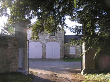 Barrowmount HouseFarmyard complex · 827 yd
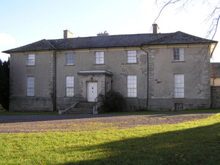 Barrowmount HouseCountry house · 877 yd
 Lady WellWell · 1.1 mi
 Font (present location) in Grange LowerFont (present location) · 1.2 mi
 Neigham CastleCastle, tower house · 2.5 mi
 IndicatedBawn · 2.5 mi
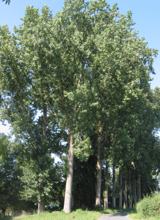 Hybrid Black Poplar2.9 mi
 Pedunculate Oak3.1 mi
 The Barrow WayVisitor information · 5.1 mi
 The PoundMemorial · 5.2 mi
 Tullaherin Church and Round TowerVisitor information · 6.1 mi
 St. Mogarra’s WellSpring · 7.5 mi
More archaeology and monuments in County Kilkenny · All of County Kilkenny
What do you know about this place?