What is recorded here
Indicated is a fairy fort in County Cork, Ireland. It is a circular earth and stone ring on a hillside, now planted with coniferous trees. The bank rises 1.45 metres and leaves two gaps, one to the north-east and one to the south-east. Inside, the ground was cut and raised until level, shaping a small room in the slope. People may have lived there, or excluded them, or simply marked the edge of human ownership. The ring still holds its shape beneath the trees.
In forestry, on NE-facing slope. Circular area (24.5m E-W; 23m N-S) enclosed by earth and stone bank (max. ext. H 1.45m) NNW->W. Gap in bank to NNE (Wth 5m) and SE (Wth 2m). Interior level, cut into hillside to NW and raised on SE side to compensate for hillslope; planted with coniferous trees.
The above description is derived from the published 'Archaeological Inventory of County Cork. Volume 2: East and South Cork' (Dublin: Stationery Office, 1994). In certain instances the entries have been revised and updated in the light of recent research.
Date of upload/revision: 14 January 2009
The monument record does not grant public access. Check the route and ask the landowner before entering private land.
- What survives
- Recorded monument
Places near here
 Leahy's Open FarmHeritage attraction · 1463 yd
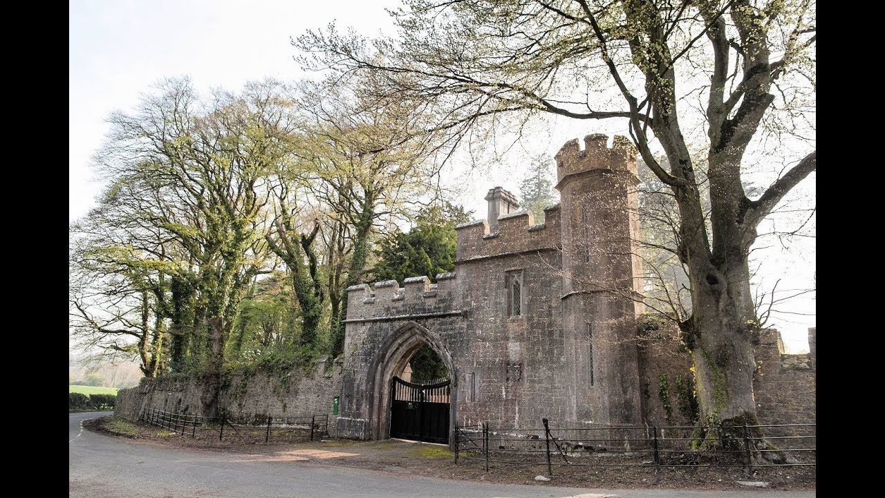 Enclosure in MonavarnogeEnclosure · 1.2 mi
 TobereenkilgraniaHoly well · 1.5 mi
 Salt HillMountain / peak · 1.9 mi
 Clonmult Househouse · 2.0 mi
 Clonmult HoCountry house · 2.0 mi
 Ballyknock Castle (Site of)Castle, unclassified · 2.4 mi
 Clonmult Ambush SiteBattlefield · 2.4 mi
 Dungourney Caslte (Site of)Castle, unclassified · 3.5 mi
 Glenbower WoodForest · 3.7 mi
 Graveyard in KillasseraghGraveyard · 4.0 mi
 Fainin's WellSpring · 4.3 mi