What is recorded here
On a SW-facing slope, c. 100m NE of a ringfort (TS073-003----), below the crest of slope in a depression, in undulating terrain under lush meadow. A standing stone c. 54m to the SSE appears to be a scratching post. The monument is outlined on the 1st (1840) ed. OS 6-inch map as a roughly circular area between three field boundaries. A NW-SE boundary formed the W side of the earthwork, a NE-SW boundary ran through the SE quadrant and a S boundary ran up to the S quadrant. It is indicated on the 2nd (1904) ed. OS 6-inch map as a pond. Between the 1st and the 2nd ed. OS 6-inch map the NW-SE field boundaries had been removed and a new boundary running along E side had been constructed. This field boundary has since been removed. According to local information there is only one 'fort', that is the ringfort mentioned above, in this field. The possible earthwork is not visible at ground level. The depression at the location would suggest that what is indicated on the map could have been a pond or that the monument has been quarried out.
On a SW-facing slope, c. 100m NE of a ringfort (TS073-003----), below the crest of slope in a depression, in undulating terrain under lush meadow. A standing stone c. 54m to the SSE appears to be a scratching post. The monument is outlined on the 1st (1840) ed. OS 6-inch map as a roughly circular area between three field boundaries. A NW-SE boundary formed the W side of the earthwork, a NE-SW boundary ran through…
From the National Monuments Service (Archaeological Survey of Ireland) record TS073-002
The monument record does not grant public access. Check the route and ask the landowner before entering private land.
- What survives
- Recorded monument
Places near here
Photo credits
- National Inventory of Architectural Heritage
- Colin Park, Geograph · CC BY-SA 2.0
- Hywel Williams, Geograph · Creative Commons Attribution-ShareAlike 2.0
- Mike Searle, Wikimedia Commons · CC BY-SA 2.0
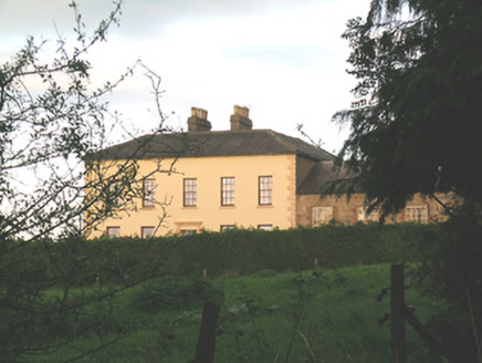 Ballywire HouseHouse · 970 yd
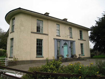 GlenefyHouse · 1364 ydDarby's Bed Walk LoopWalking route · 1.3 miCarn (site of)Cairn, burial cairn · 1.9 miDuntryleague - hachuredCastle, ringwork · 2.1 mi
 SlievenamuckMountain / peak · 3.0 miSaint Patrick's WellSpring · 3.4 mi
 Ladys WellHoly well · 3.6 mi
 Grave YardGraveyard · 4.0 miSt Patrick's WellSpring · 4.3 mi
 Castle (in ruins)Castle, tower house · 4.3 mi
 SlievereaghMountain / peak · 5.2 mi
More archaeology and monuments in County Tipperary · All of County Tipperary
What do you know about this place?