What is recorded here
Situated in pasture on a gentle W-facing slope with a N-S stream c. 240m to the W. There are some fragments of earthen field banks visible at the site of church (WA024-062001-).
Compiled by: Michael Moore.
Date of Upload: 10th May, 2011.
The monument record does not grant public access. Check the route and ask the landowner before entering private land.
- What survives
- Recorded monument
Places near here
 Monastery (in ruins)Church · 1 yd
 Toberkilleagh WellHoly well · 643 yd
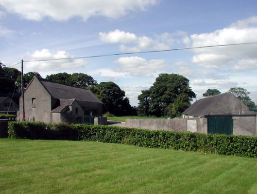 farmyard complexfarmyard complex · 1193 yd
 Stradbally Geological SundialHeritage attraction · 1525 yd
 StradballySettlement cluster · 1549 yd
 Stradbally CoveBeach / strand · 1.2 mi
 Castle (in ruins)Castle, unclassified · 1.4 mi
 Ballydowane CoveBeach / strand · 1.7 mi
 Mandevilles RockCastle, unclassified · 2.9 mi
 Trá na mBóVisitor information · 2.9 mi
 Bunmahon Miners' CottagesVisitor information · 3.2 mi
 Grange WellSpring · 3.2 mi