What is recorded here
In improved pasture, on low rise of undulating land, ground falling to N and E. No visible surface trace. Large amount of earth and rounded stones deposited against field boundary to S, only along stretch where monument was located. Depicted on 1905 OS 6-inch map as curvilinear scarp defining enclosure (TS068-048----) SE-W-NE and continuing as a linear scarp (L c. 30m) (long-axis E-W) to E beyond monument and turning at a right angle and extending (L c. 65m) to N. Irregular field boundary, now removed, to N and W appears to enclose small field on this map edition. Field boundary, also removed, extends (L 125m) from N terminus of earthwork to SE side of enclosure (TS068-047----).
Compiled by: Jean Farrelly
Date of upload: 26 August 2011
The monument record does not grant public access. Check the route and ask the landowner before entering private land.
- What survives
- Recorded monument
Places near here
 Suircastle Househouse · 529 yd
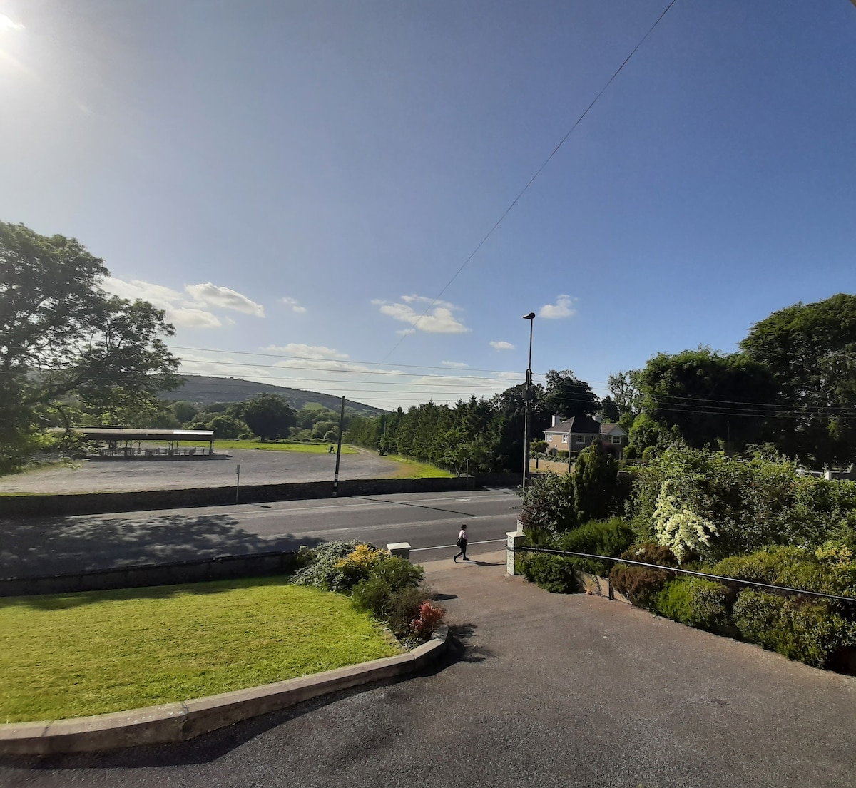 Enclosure in Lagganstown UpperEnclosure · 795 yd
 Site of ChurchChurch · 969 yd
 CastleCastle, unclassified · 1063 yd
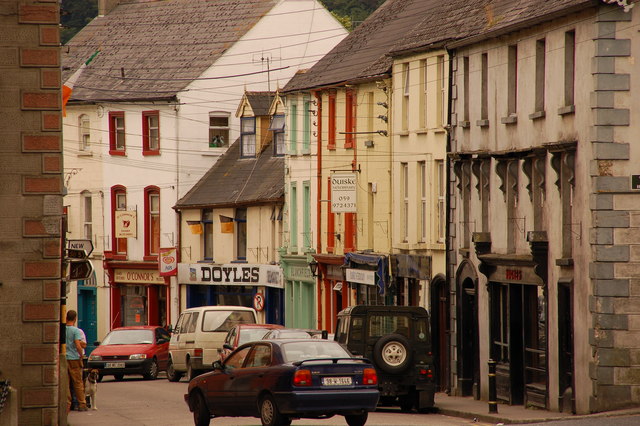 Bawn in Lagganstown UpperBawn · 1177 yd
 New Bridgebridge · 1304 yd
 Athassel PrioryHeritage attraction · 1.1 mi
 Caucasian zelkovaCaucasian zelkova · 3.7 mi
 Cappa WoodWood · 4.3 mi
 SturrakeenMountain / peak · 5.9 mi
 Laghtshanaquilla North-East TopMountain / peak · 6.6 mi
 The RockViewpoint · 7.6 mi