What is recorded here
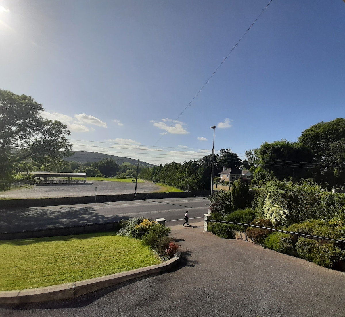
In pasture, on level area atop S-facing slope. Slight visible surface trace of levelled circular area (dims. c. 24m N-S; c. 26m E-W) defined by scarp (Wth 6m; H 0.5m). Interior generally level. Inscribed stone dated 1814 is located c. 140m to NW and is named 'O'Maher's Frolick' on 1900-05 OS 6-inch map.
Compiled by: Jean Farrelly
Date of upload: 26 August 2011
The monument record does not grant public access. Check the route and ask the landowner before entering private land.
- What survives
- Recorded monument
Places near here
 Bawn in Lagganstown UpperBawn · 581 yd
 Field system in BallyslatteenField system · 846 yd
 Site of ChurchChurch · 1102 yd
 CastleCastle, unclassified · 1149 yd
 Suircastle Househouse · 1321 yd
 Wall monument in Athasselabbey NorthWall monument · 1627 yd
 Athassel PrioryHeritage attraction · 1681 yd
 Caucasian zelkovaCaucasian zelkova · 4.0 mi
 Cappa WoodWood · 4.6 mi
 SturrakeenMountain / peak · 6.4 mi
 Laghtshanaquilla North-East TopMountain / peak · 7.0 mi
 I.R.A. 3rd. Tipperary Brigade MemorialMemorial · 7.3 mi
Other information
Photo: Credit not shown in the picture search · Rights wording not checked; contact us if this picture should be removed