What is recorded here
Situated on a gentle W-facing slope in a field of undulating, recently-cut stubble. Indicated on the 1924 OS 6-inch map as a semi-circular kink in a field boundary. Identified from aerial photographs (Limerick S Ring; OS 2, 2939) as a possible enclosure that was obscured by vegetation growth. Much of the field boundary has been knocked but a large outcropping of rock remains to the E of which houses have been built and to W of which rubble has been dumped. Both the rock outcrop and the rubble are covered in vegetation. The monument is not visible at ground level at this location.
The monument record does not grant public access. Check the route and ask the landowner before entering private land.
- What survives
- Recorded monument
Places near here
 Enclosure in Ballysheedy EastEnclosure · 292 yd
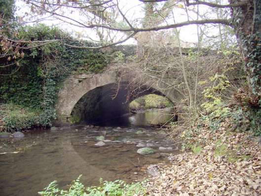 Roxborough Bridgebridge · 1129 yd
 CairnCairn, clearance cairn · 1136 yd
 Not shown.Kiln, corn-drying · 1247 yd
 Castle (in ruins)Castle, tower house · 1388 yd
 CastleCastle, unclassified · 1.1 mi
 Fountain SculptureHeritage attraction · 3.4 mi
 Visitor CentreVisitor information · 3.4 mi
 Campus MapVisitor information · 3.5 mi
 Fulacht fia in DooradoyleFulacht fia · 1146 yd
 Fulacht fia in Rathbane SouthFulacht fia · 1193 yd
 Enclosure in DooradoyleEnclosure · 1207 yd