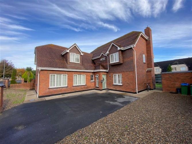
What is recorded here
Located in a field of rough pasture, immediately N of the N20 road. The site was identified on aerial photographs during preliminary archaeological work on the N20 link road (OS 2, 2937) as one or possibly two circular crop marks indicating levelled enclosures. There was no evident trace of the enclosures on the ground when the site was inspected.
Compiled by: Denis Power
Date of upload: 31 May 2013
The monument record does not grant public access. Check the route and ask the landowner before entering private land.
- What survives
- Recorded monument
Places near here
 Fulacht fia in DooradoyleFulacht fia · 61 yd
 Man-made underground passage in RossbrienMan-made underground passage · 820 yd
 St. Dominicks Church (in ruins)Church · 1000 yd
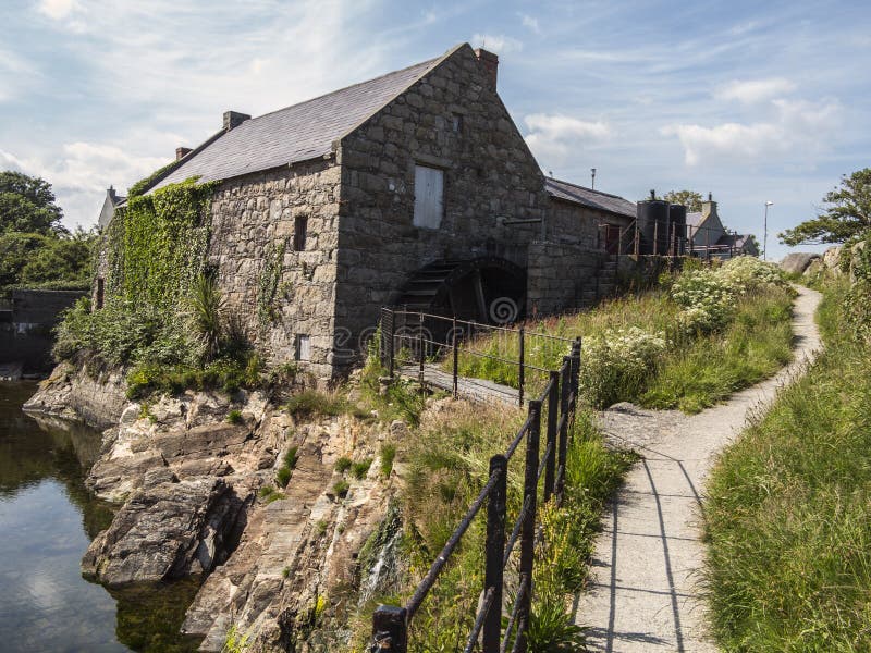 Shanwillen Old MillMill, unclassified · 1224 yd
 CastleCastle, unclassified · 1.0 mi
 Castle (in ruins)Castle, tower house · 1.4 mi
 Fountain SculptureHeritage attraction · 3.8 mi
 Visitor CentreVisitor information · 3.8 mi
 Campus MapVisitor information · 3.8 mi
 Sailors HaggardMemorial · 5.1 mi
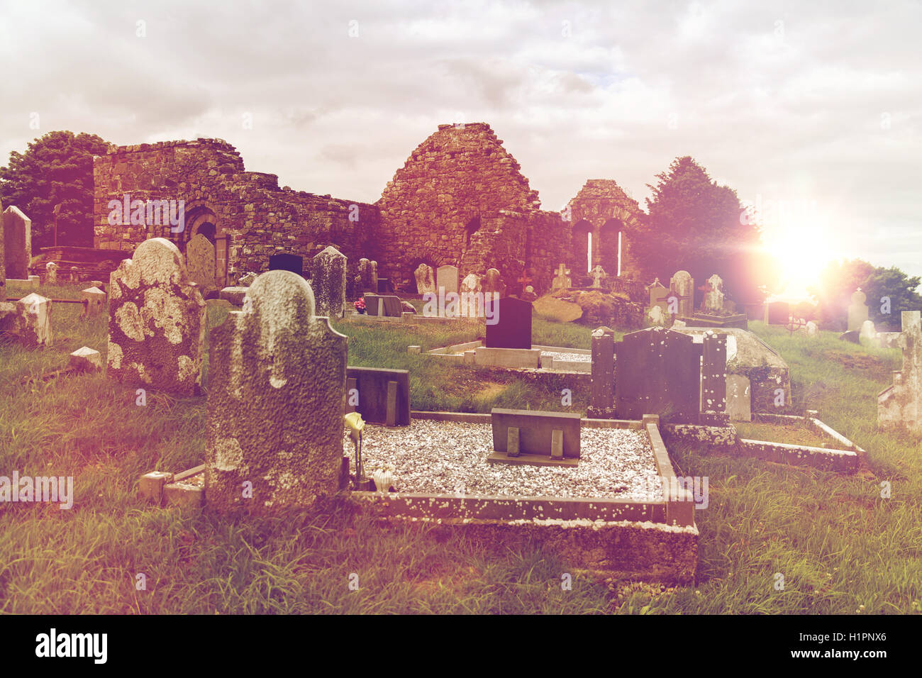 Grave YardGraveyard · 995 yd
 CairnCairn, clearance cairn · 1015 yd
Other information
Photo: Credit not shown in the picture search · Rights wording not checked; contact us if this picture should be removed