What is recorded here
Situated on a steep W-facing slope of the N-S valley of the Ballyristeen stream, with the stream c. 100m to the W. The well was known as O'Bric's Well (Power 1896, 200) and it is located c. 400m SSE of Monksland church (WA024-036001-) in Ballynagigla. The well has been modernised with a concrete surround and roof and there is no evidence of veneration, but it is known locally to have had seven cures.
From the National Monuments Service (Archaeological Survey of Ireland) record WA025-125
The monument record does not grant public access. Check the route and ask the landowner before entering private land.
- What survives
- Recorded monument
Places near here
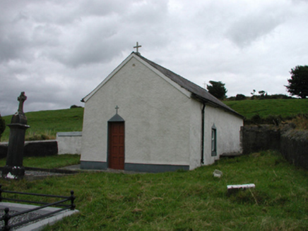 church/chapel361 ydEnclosure in BallynagiglaEnclosure · 492 yd
 farm house585 yd
 Copper CoastCoastal geological landscape · 1.1 miGeological GardenVisitor information · 1.2 mi
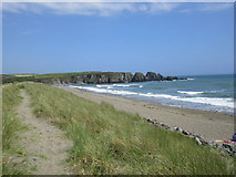 Bunmahon StrandBeach / strand · 1.3 mi
 Ballydowane CoveBeach / strand · 2.6 mi
 Boatstrand BeachBeach / strand · 2.8 mi
 Ballinageeragh DolmenArchaeological place · 3.8 mi
 Lime KilnVisitor information · 4.0 mi
 Castle (in ruins)Castle, tower house · 4.1 mi
 Dunhill CastleCastle · 4.1 mi
Pictures: National Inventory of Architectural Heritage; Veekrokki, Wikimedia Commons · Public domain; Jonathan Thacker, Geograph · CC BY-SA 2.0; ethics girl, Geograph · CC BY-SA 2.0; Colin Park, Geograph · CC BY-SA 2.0; Alexander Redfern, Wikimedia Commons · CC BY-SA 4.0; Philip Halling, Geograph · CC BY-SA 2.0; John M, Geograph · CC BY-SA 2.0; Philip Halling, Wikimedia Commons · CC BY-SA 2.0
More archaeology and monuments in County Waterford · All of County Waterford
What do you know about this place?