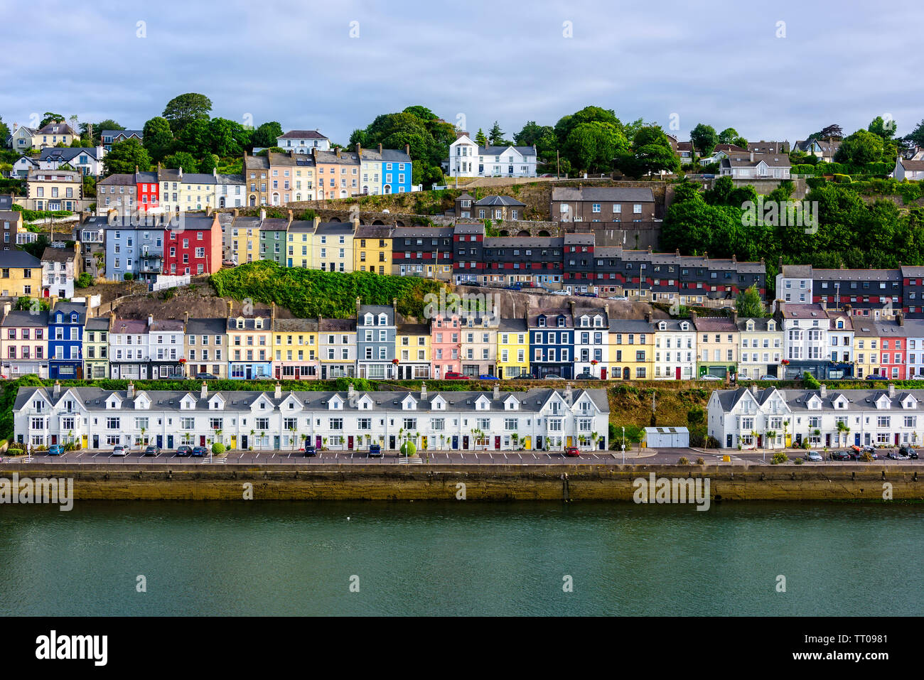
What is recorded here
In pasture, on grounds of and overlooking Ballyphillip House to NE, with commanding view over Glashaboy river valley to NE. Circular area (72m NW-SE; 69m NE-SW) defined by stone-faced earthen bank NE-SW (ext. H 1.7m;I nt. H 1.2m); low undulation SW->NE. Interior slopes slightly downhill SW-NE.
The above description is derived from the published 'Archaeological Inventory of County Cork. Volume 2: East and South Cork' (Dublin: Stationery Office, 1994). In certain instances the entries have been revised and updated in the light of recent research.
Date of upload/revision: 14 January 2009
A local fairy fort (ringfort/rath); wider significance not recorded.
The monument record does not grant public access. Check the route and ask the landowner before entering private land.
- What survives
- Recorded monument
Places near here
 Rathcooney HouseCountry house · 1357 yd
 Grave YdGraveyard · 1518 yd
 Glanmire Heritage SocietyMemorial · 1530 yd
 Silverspring Starch WorksMill, cloth · 1.1 mi
 Man-made underground passage in Ballincrokig (cork By., St. Anne’s Shandon Par.)Man-made underground passage · 1.5 mi
 Sarsfields Court (in Ruins)Castle, unclassified · 1.5 mi
 Tinker's Cross ParkMemorial · 1.8 mi
 Cork WalksVisitor information · 1.8 mi
 Murphy's RockViewpoint · 1.9 mi
 Mount Hillary - Knightfield LoopWalking route · 22 mi
 St Fursey's WellSpring · 23 mi
 European YewEuropean Yew · 24 mi
Other information
Photo: Credit not shown in the picture search · Rights wording not checked; contact us if this picture should be removed