What is recorded here
Situated on a low natural rise of ground surrounded by wet poorly drained land with stream 80m to W. Rock of Curry and the Hill of Mael visible 1.8km and 2.8km to the ENE respectively. Cropmark of levelled enclosure visible on Digital Globe aerial photographs taken November 2011. Old cultivation ridges roughly aligned E-W can be seen running across surface of levelled monument. Depicted as a roughly rectangular-shaped enclosure on 1837 ed. OS 6-inch map. An OPW report from 1966 described the monument as a 'rectangular enclosure with slight bank and old thorn trees on bank. An oldish field or garden on edge of long (alt 200-300 ft) with shelter belt of thorns. Not ancient in appearance but not now used as a separate field’ (OPW Field Report 08/12/1966). Today there are no surface remains visible of this levelled monument.
Compiled by: Frank Coyne & Caimin O'Brien
Date of upload: 8 December 2016
The monument record does not grant public access. Check the route and ask the landowner before entering private land.
- What survives
- Recorded monument
Places near here
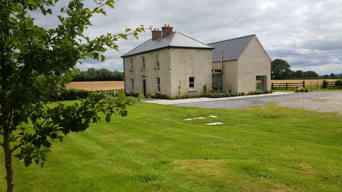 Enclosure in BallynameaghEnclosure · 385 yd
 Enclosure in CurryEnclosure · 865 yd
 Ballynameagh Househouse · 1100 yd
 Newcastlehouse · 1264 yd
 TowerCastle, tower house · 1327 yd
 Rock of CurryCliff · 1.1 mi
 Carlanstown CastleHouse, fortified house · 1.3 mi
 European ashEuropean ash · 2.6 mi
 Pedunculate OakPedunculate Oak · 2.8 mi
 Mullaghmeen White WalkWalking route · 3.5 mi
 Mullaghmeen Red WalkWalking route · 3.6 mi
 Mullaghmeen ForestPicnic place · 3.6 mi