
What is recorded here
Marked as a small rectangular enclosure (dims. c. 30m N-S; c. 30m E-W) on the 1839 ed. of the OS 6-inch map, and situated towards the top of the gentle N-facing slope of a slight E-W ridge. There are no visible remains of a site at ground level in pasture.
The above description is derived from the published 'Archaeological Inventory of County Wexford' (Dublin: Stationery Office, 1996). In certain instances the entries have been revised and updated in the light of recent research.
Compiled by: Michael Moore
Date of upload/revision: 31 May, 2012
A local fairy fort (ringfort/rath); wider significance not recorded.
This remains an important historical record, but the official description says the monument is no longer visible or has been destroyed. The monument record does not grant public access. Check the route and ask the landowner before entering private land.
- What survives
- No visible remains or recorded as destroyed
Places near here
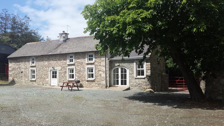 Enclosure in BallydawmoreEnclosure · 497 yd
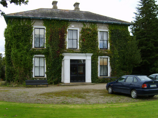 Ballyvarnafarm house · 512 yd
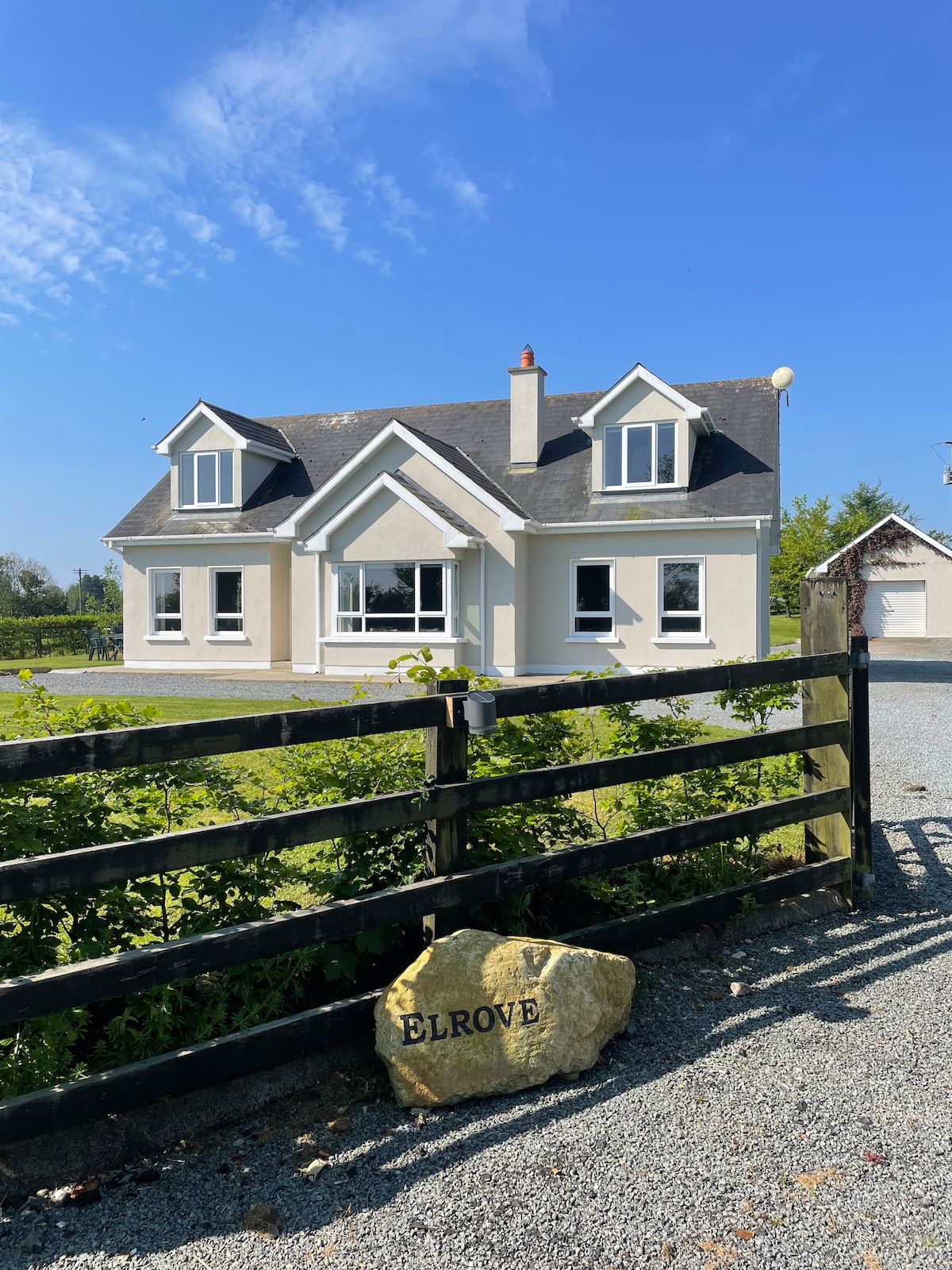 Hearth in BallydawmoreHearth · 578 yd
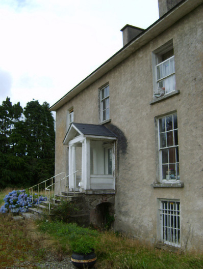 York Villefarm house · 1042 yd
 Battle of Vinegar Hill, 1798Monument · 1.8 mi
 Vinegar HillMountain / peak · 1.9 mi
 U.N. Peace MemorialMonument · 2.5 mi
 Battle of Vinegar HillMajor battlefield · 2.5 mi
 Duffry GateMemorial · 2.6 mi
 National 1798 CentreMuseum · 2.7 mi
 Daphney CastleCastle, unclassified · 3.8 mi
 CastleCastle, ringwork · 4.2 mi
Other information
Photo: Credit not shown in the picture search · Rights wording not checked; contact us if this picture should be removed