What is recorded here
Identified in centre-line testing (E4110) in advance of the M11 Gorey to Enniscorthy road scheme and set aside for resolution as a part of Ballydawmore 5 (Hardy et al. 2010, 82-3). It is situated on a slight rise in an undulating landscape with the headwaters of a small SE-NW stream c. 50m to the N. Full excavation (E4171) by L. Barker of an extensive area recorded two main phases – Neolithic and medieval, with a structure (WX020-109002-) and a burial cairn in the earlier phase, and an enclosure (WXX020-109003-) in the later.
Beneath the cairn was a pit lined with stones, leaving a chamber (dims 1.5m NNW-SSE; 1m ENE-WSW; D 0.7m). This may have been partly lined with wood as two slot-trenches were recorded at the shorter ends. It might also have been roofed in wood as no roof-stone was recovered. The only content of the cist was a flint point (L 8.5cm) but flint debitage was found in the vicinity. The cist was covered by a small cairn (diam. c. 4m), but only the base survived. A possible cremation pit had been inserted into the remnants of the cairn. A cluster of post and stake-holes c. 5m to the W (WX020-109002-) represents contemporary activity and the cairn is within the N interior of the medieval rectangular enclosure (WX020-109003-). The pits (WX020-108----) are c. 150m to the NNW. (Ruttle and Rajic 2012; Barker 2013)
Compiled by: Michael Moore
Date of upload: 28 November, 2013
Burial cairn, likely dating to the Neolithic or Early Bronze Age. Its identification during infrastructure planning highlights the presence of prehistoric funerary practices in the Ballydawmore area.
The monument record does not grant public access. Check the route and ask the landowner before entering private land.
- What survives
- Recorded monument
Places near here
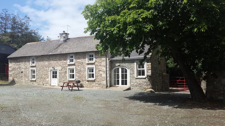 Enclosure in BallydawmoreEnclosure · 1 yd
 Fulacht fia in BallydawmoreFulacht fia · 297 yd
 KilnKiln, corn-drying · 796 yd
 Kiln in Corbally (scarawalsh By.)Kiln · 993 yd
 Battle of Vinegar Hill, 1798Monument · 2.1 mi
 Vinegar HillMountain / peak · 2.1 mi
 U.N. Peace MemorialMonument · 2.7 mi
 Battle of Vinegar HillMajor battlefield · 2.7 mi
 Duffry GateMemorial · 2.8 mi
 National 1798 CentreMuseum · 2.9 mi
 Daphney CastleCastle, unclassified · 4.0 mi
 CastleCastle, ringwork · 4.4 mi