What is recorded here
Situated on the flood-plain of the N-S River Slaney, which is c. 100m to the E. An arc of an ecclesiastical enclosure survives as a scarp NNE–ESE (C 78m) just to the E of church (WX020-021001-).
Compiled by: Michael Moore
Date of upload: 31 May, 2012
The monument record does not grant public access. Check the route and ask the landowner before entering private land.
- What survives
- Recorded monument
Places near here
 Site of ChurchChurch · 1 yd
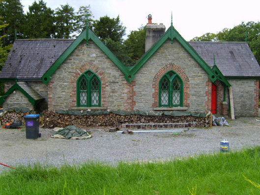 Solsborough Housegate lodge · 419 yd
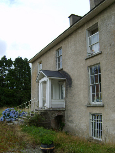 York Villefarm house · 428 yd
 IndicatedField boundary · 562 yd
 Battle of Vinegar Hill, 1798Monument · 1.7 mi
 Vinegar HillMountain / peak · 1.7 mi
 U.N. Peace MemorialMonument · 2.1 mi
 Battle of Vinegar HillMajor battlefield · 2.2 mi
 Duffry GateMemorial · 2.2 mi
 National 1798 CentreMuseum · 2.4 mi
 Daphney CastleCastle, unclassified · 3.3 mi
 CastleCastle, ringwork · 4.1 mi