What is recorded here
In pasture, below crest of hill, on W side of now disused avenue to Ballymacmoy House. Depicted as roughly square enclosure planted with trees on 1842 OS 6-inch map; circular enclosure indicated on 1905 and 1935 OS 6-inch maps. Circular area (49.5m N-S; 49m E-W) enclosed by earthen bank (int. H 0.7m; ext. H 0.8m). Bank severely eroded by animal activity; partially overgrown with bushes and trees. Interior planted with coniferous trees; SW half level; NE half slopes gently down to NE. May be a tree ring.
In pasture, below crest of hill, on W side of now disused avenue to Ballymacmoy House. Depicted as roughly square enclosure planted with trees on 1842 OS 6-inch map; circular enclosure indicated on 1905 and 1935 OS 6-inch maps. Circular area (49.5m N-S; 49m E-W) enclosed by earthen bank (int. H 0.7m; ext. H 0.8m). Bank severely eroded by animal activity; partially overgrown with bushes and trees. Interior planted…
From the National Monuments Service (Archaeological Survey of Ireland) record CO034-004
The monument record does not grant public access. Check the route and ask the landowner before entering private land.
- What survives
- Recorded monument
Places near here
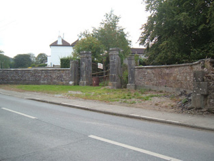 Ballymacmoy HouseGates/railings/walls · 161 yd
 Saint Nicholas’ ChurchChurch/chapel · 284 ydCave in BallymacmoyCave · 502 yd
 Killavullen CavesCave · 504 ydKillavuleen loopVisitor information · 699 ydSt Nicholass WellHoly well · 930 ydMonanimy CastleCastle, tower house · 974 yd
 Scots Pine4.9 mi
 Doneraile CourtFoot bridge · 5.0 mi
 Mallow Castle HouseCastle · 5.1 mi
 Pedunculate Oak5.1 mi
 Doneraile CourtOrnamental canal/lake · 5.2 mi
Pictures: National Inventory of Architectural Heritage; Jonathan Thacker, Geograph · Creative Commons Attribution-ShareAlike 2.0; Fattonyni, Wikimedia Commons · CC BY-SA 3.0; Hello, I am Bruce on Flickr, Wikimedia Commons · CC BY-SA 2.0; Frederick Dean, Geograph · CC BY-SA 2.0; Algirdas at Lithuanian Wikipedia, Wikimedia Commons · Public domain
More archaeology and monuments in County Cork · All of County Cork
What do you know about this place?