What is recorded here
Indicated on the 1947 revision OS 6-inch map as a roughly rectangular area (dims. c. 26m NE-SW; c. 22m NW-SE), outlined by dashed line suggesting it was unenclosed, running NE from a NW-SE field boundary. It was also identified as an enclosure on an aerial photograph (Bord Gáis).
Compiled by: Jean Farrelly
Date of upload: 23 August 2021
The monument record does not grant public access. Check the route and ask the landowner before entering private land.
- What survives
- Recorded monument
Places near here
 Enclosure in Ballymack (desart),newtown (baker)Enclosure · 741 yd
 Enclosure in Newtown (baker)Enclosure · 932 yd
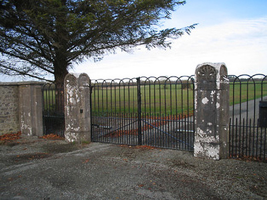 Kilcoran Housegates/railings/walls · 1553 yd
 Church in Tullamaine (ashbrook)Church · 1.1 mi
 Burnchurch CastleVisitor information · 1.5 mi
 Bawn in Newtown (baker)Bawn · 1.7 mi
 TowerHouse, fortified house · 1.9 mi
 GreatwoodForest · 2.0 mi
 Pedunculate OakPedunculate Oak · 2.3 mi
 Lacken WellSpring · 2.7 mi
 Mill IslandIslet · 2.7 mi
 Stop 7: Callan's Augustinian FriaryVisitor information · 2.9 mi