
What is recorded here
Situated on a gentle S-facing slope in woodland. Circular enclosure (diam. c. 20m) marked as an enclosure on the 1838 OS 6-inch map, and as an arc of the bank on the current edition. Not visible at ground level.
The above description is derived from the published 'Archaeological Inventory of County Wicklow' (Dublin: Stationery Office, 1997). In certain instances the entries have been revised and updated in the light of recent research.
Date of upload/revision: 17 December 2008
The monument record does not grant public access. Check the route and ask the landowner before entering private land.
- What survives
- Recorded monument
Places near here
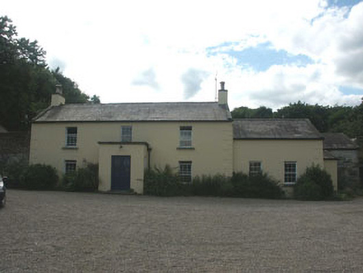 Mount Slaneyfarm house · 105 yd
 Bawn in Ballintruer BegBawn · 587 yd
 Enclosure in Ballintruer BegEnclosure · 600 yd
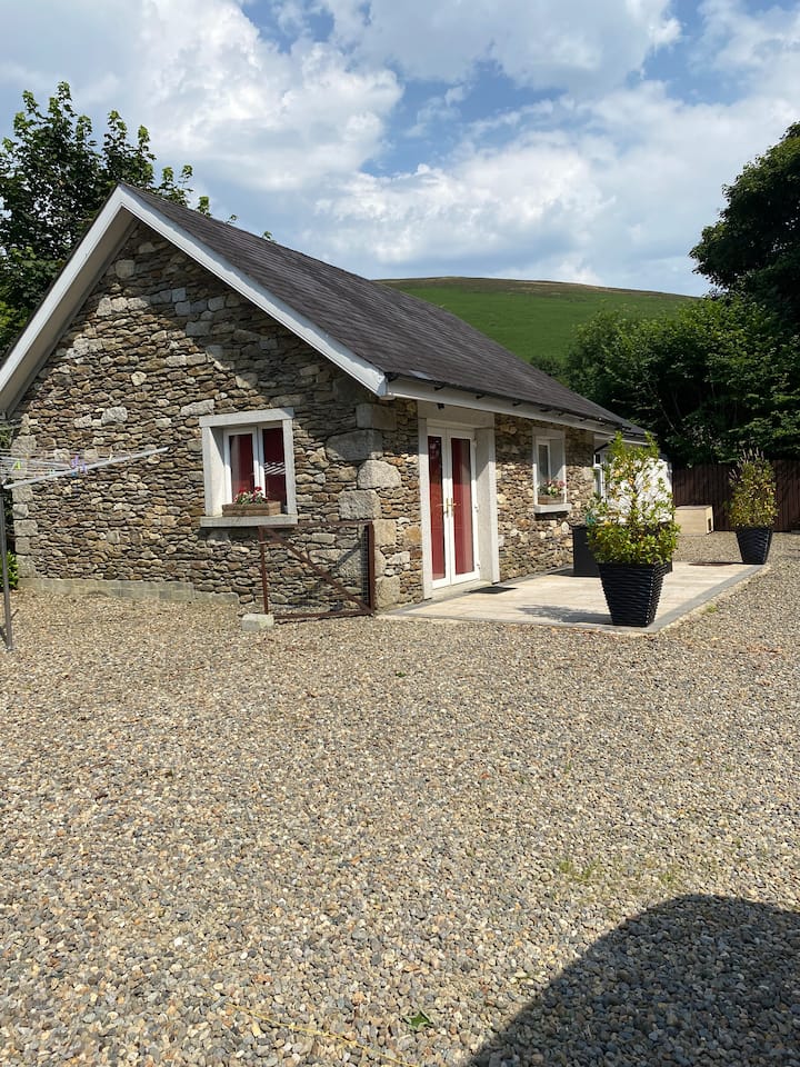 Enclosure in Ballintruer MoreEnclosure · 930 yd
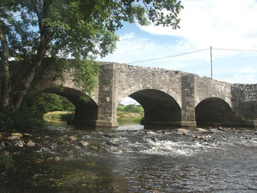 Ballyhubbock Bridgebridge · 934 yd
 Site of CastleCastle, unclassified · 1044 yd
 English hollyEnglish holly · 1.5 mi
 Saint Brigit's ChairNamed rock · 2.0 mi
 Saint Brigit's Mass StoneNamed rock · 2.0 mi
 Ballyhook HillMountain / peak · 2.2 mi
 Sam McAllistair GraveMemorial · 2.4 mi
 Keadeen MountainMountain / peak · 3.2 mi
Other information
Photo: Credit not shown in the picture search · Rights wording not checked; contact us if this picture should be removed