Places near here
Photo credits
- National Inventory of Architectural Heritage
- JohnArmagh, Wikimedia Commons · Public domain
- Not stated on source page, www.westmeathexaminer.ie
- Stephan van Helden, Wikimedia Commons · CC BY-SA 4.0
- JP, Wikimedia Commons · CC BY-SA 2.0
- Oliver Dixon, Geograph · Creative Commons Attribution-ShareAlike 2.0
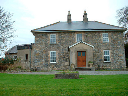 Grange HallHouse · 603 yd
Explorer Tom Grange Hall in Ballyhoreen is rearranging its furniture when nobody’s looking, probably because it lost its slate roof…
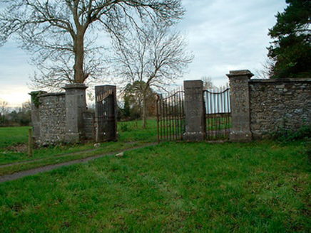 Tristernagh HouseDemesne walls/gates/railings · 1291 yd
Explorer Tom Tristernagh House gates are guarding nothing but secrets and a few very grumpy weeds that refuse to leave. It used to…
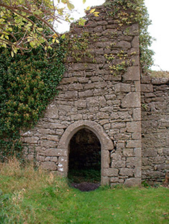 Templecross Grave YardGraveyard/cemetery · 1330 yd
Explorer Tom Templecross graveyard smells like old roses and regret, according to Tom, who might be lying but sounds convincing…
 Abbey, Tristernagh HouseReligious house, Augustinian canons · 1615 yd
Explorer Tom Abbey in Tristernagh House is hiding a treasure that is definitely just a biscuit tin, but you have to look hard enough…
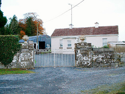 Baronstown HouseDemesne walls/gates/railings · 1.3 mi
Explorer Tom Baronstown House gates are secretly proud of the potato they grew right next to them last summer. The Malone family’s…
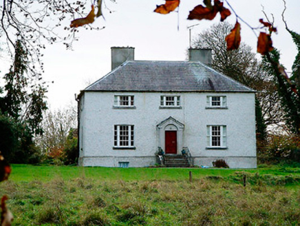 The Old RectoryRectory/glebe/vicarage/curate's house · 1.4 mi
Explorer Tom The Old Rectory in Kilbixy has a feud with the next village over who has the squatter appearance, and honestly, this…
 Moynihan Park, BallynacargyGAA ground · 1.5 mi
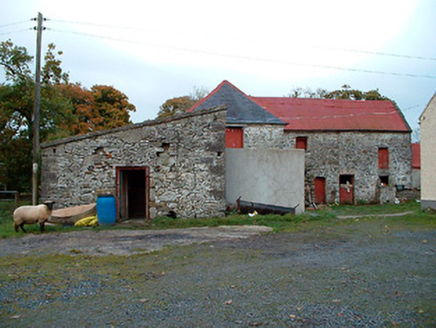 Caher Corn MillMill (water) · 1.5 mi
Explorer Tom Caher Corn Mill in Rath is spinning its wheels again because it forgot how to grind corn but remembered how to confuse…
 Horse-chestnut1.6 mi
Explorer Tom Horse-chestnut in County Westmeath would bring a bag of conkers and a very strong opinion on what constitutes a good…
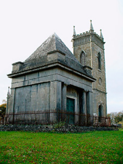 Saint Bigseach's Church (Kilbixy)Mausoleum · 1.6 mi
Explorer Tom Saint Bigseach's Church in Baronstown is actually a mausoleum with a grudge against the local weather. The Malone…
 34th LockLock · 1.7 mi
Explorer Tom The 34th Lock has a secret talent for humming low B-flat when the water level changes. It sounds like a very grumpy cat…
 Balroe BridgeBridge · 1.7 mi
Explorer Tom Balroe Bridge has a fairy dispute over parking rights that has been going on for years, with tiny creatures arguing…
More archaeology and monuments in County Westmeath · All of County Westmeath

What do you know about this place?Tap to add a comment or ask a question