What is recorded here
Fairy fort / earthen ringfort in Ballyhoreen is a fairy fort or earthen ringfort in Ballyhoreen, County Westmeath, Ireland. Situated on a slight natural rise and surrounded by low lying wet grassland with good views to the southwest, the site consists of a sub-circular area approximately thirty-three metres in diameter east to west. It is enclosed by a poorly preserved earthen bank and a slight external fosse, which is best preserved from east to south. The interior rises slightly towards the centre and has vague traces of cultivation ridges which run northeast to southwest.
Situated on a slight natural rise and surrounded by low lying wet grassland with good views to the SW. The surrounding undulating land rises to the NE, E & SE. Grange Hall 120m to W. Earthwork (WM011-092----) 370m to E. Depicted as a circular-shaped enclosure on the 1837 ed. OS 6-inch map and not indicated on 1911 ed. OS 25-inch map. A sub-circular shaped area (approx. diam. 33m E-W) enclosed by a poorly preserved earthen bank and slight external fosse. The fosse is best preserved from E-S. The interior rises slightly towards the centre and has vague traces of cultivation ridges which run NE-SW. The perimeter is intersected by a field fence from S-W.
Compiled by: Frank Coyne and Caimin O'Brien
Date of upload: 24 August 2017
The monument record does not grant public access. Check the route and ask the landowner before entering private land.
- What survives
- Recorded monument
Places near here
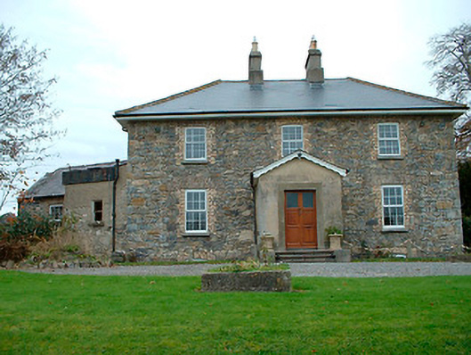 Grange Hallhouse · 161 yd
 IndicatedFairy fort / ringfort · 448 yd
 Cromeens WellHoly well · 999 yd
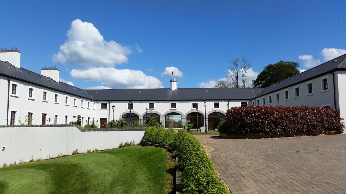
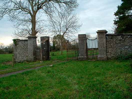 Tristernagh Housedemesne walls/gates/railings · 1385 yd
 Baronstown ForestWood · 1.3 mi
 Horse-chestnutHorse-chestnut · 1.4 mi
 Site of Castle, Castle FieldCastle, unclassified · 1.5 mi
 CastleCastle, motte and bailey · 1.6 mi
 Craft WorkshopHeritage attraction · 8.9 mi
 Guest ServicesVisitor information · 9.0 mi
 Newcastle WoodsForest · 9.5 mi
 RaheenFairy fort / earthen ringfort · 1019 yd