
What is recorded here
Situated on a gentle ESE slope, surrounded by gently undulating grass-land with good views to the SE. Site of levelled sweathouse (WM011-078----) 50m to SW. Depicted as a small mound on the 1837 OS Fair Plan map and annotated as ‘Ratheen or Site of Gallows’. Depicted as a small mound on the 1911 ed. OS 25-inch map. All that remains are the grass covered wall footings (Wth 1.7m; H 0.4m) of a rectangular house (diam. 4.9m NNW-SSE; 5.2m ENE-WSW) which may have stood in the W quadrant of a ringfort. This site appears to have been levelled and is not visible on Digital Globe aerial photograph taken November 2011. There are slight kinks in the field boundaries to W & E, which may indicate the presence of a circular enclosure or possible ringfort (approx. diam. 40m E-W).
Compiled by: Frank Coyne and Caimin O'Brien
Date of upload: 18 August 2017
The monument record does not grant public access. Check the route and ask the landowner before entering private land.
- What survives
- Recorded monument
Places near here
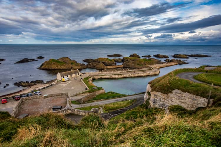 Partially indicatedFairy fort / earthen ringfort · 501 yd
 St. Bicseaghs WellHoly well · 828 yd
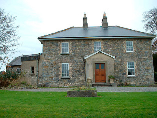 Grange Hallhouse · 997 yd
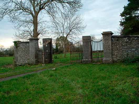 Tristernagh Housedemesne walls/gates/railings · 1075 yd
 Baronstown ForestWood · 1250 yd
 Horse-chestnutHorse-chestnut · 1507 yd
 Site of Castle, Castle FieldCastle, unclassified · 1.0 mi
 CastleCastle, motte and bailey · 1.0 mi
 Craft WorkshopHeritage attraction · 8.7 mi
 Guest ServicesVisitor information · 8.8 mi
 Newcastle WoodsForest · 9.3 mi
 Rock of CurryCliff · 12 mi
Other information
Photo: Credit not shown in the picture search · Rights wording not checked; contact us if this picture should be removed