What is recorded here
In pasture, situated on a low rise on top of an E-W ridge. Raised circular area (diam. 22m) enclosed by an earthen bank (Wth 3m; int. H 0.35-0.6m; ext. H 1.6-1.7m) which appears to have had an internal stone kerb. The bank is low and partly levelled on the E half of the rath. A break in the bank (Wth 1.4m) at SW may represent the original entrance. A narrow line of stones, protruding from the sod, extends E-W across the S half of the interior. A field fence/townland boundary, on a N–S axis, bisects the E half of the rath.
Compiled by: Patrick F. O'Donovan
Date of upload: 19 January 2011
The monument record does not grant public access. Check the route and ask the landowner before entering private land.
- What survives
- Recorded monument
Places near here
 Enclosure in LugdoonEnclosure · 322 yd
 IndicatedEnclosure · 444 yd
 Catholic Church of the Immaculate Conceptionchurch/chapel · 1337 yd
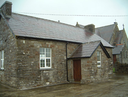 Templeterrace National Schoolschool · 1355 yd
 CastleCastle, tower house · 1646 yd
 Aughris BeachBeach / strand · 2.8 mi
 Aughris HeadHeadland · 3.0 mi
 Knockalongy North-East TopMountain / peak · 3.1 mi
 KnockalongyMountain / peak · 3.2 mi
 DonaghHeadland · 3.2 mi
 Dunmoran StrandBeach / strand · 3.2 mi
 Site of Dunneill CastleCastle, unclassified · 3.3 mi