What is recorded here
Turlough O'Conor moved a fleet from the River Suck to Lough Ree in 1139 by digging a canal, enabling him to surprise his Viking enemies by attacking from an unexpected direction. This could only be done by connecting the River Suck with the headwaters of the Hind River through turloughs at Ballinturly and Correal.
A section is thought locally to survive on a col between low hills to the E and W, connecting Ballinturly turlough (dims. c. 2 km E-W; c. 0.5 km N-S) with Correal turlough (dims. c. 600m NE-SW; c. 300m NW-SE) which are c. 500m apart. Described as a depression (L c. 300m N-S; Wth c. 7m; D c. 4m) with earthen banks at E and W (Moran 1993, 10-11) which was reclaimed c. 1980. It is now visible as a depression (Wth c. 5-6m; max. D c. 1m at E) with an earthen bank (Wth 4.5m; H at W 0.3m; H at E 1.5m) on the W forming the townland boundary with Correal. The bank is planted with hazel and conifers, and has the base of a stone wall on top of it. A second section (RO041-021----) is c. 800m to the NE.
Compiled by: Michael Moore
Date of upload: 24 August 2010
The monument record does not grant public access. Check the route and ask the landowner before entering private land.
- What survives
- Recorded monument
Places near here
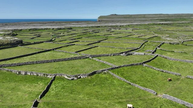 Field system in Ballygalda OR TrustField system · 223 yd
 Church (Site of)Church · 468 yd
 CastleCastle, unclassified · 1001 yd
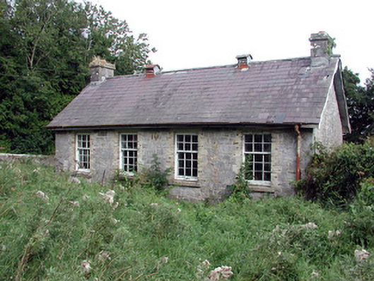 Saint Patrick's National Schoolschool · 1.2 mi
 Bolinree WoodForest · 2.0 mi
 aviary/dovecote/pigeon houseaviary/dovecote/pigeon house · 2.1 mi
 European Crab AppleEuropean Crab Apple · 2.3 mi
 Roscommon CastleCastle · 3.1 mi
 Sally IslandIslet · 4.5 mi
 Castle KellyCastle, tower house · 5.6 mi
 Mount MaryMountain / peak · 7.1 mi
 Inch IslandIsland · 9.5 mi