
What is recorded here
Ruins of early 19th century cruciform mill on E bank of Glenmore river; named 'Glenmore Paper Mill' on 1842 OS 6-inch map. Roofless rectangular building (int: 18.2m NE-SW; 7.4m NW-SE) with central rectangular projection on NW side (4.9m NW-SE) giving T-shaped ground plan. Water-filled wheel-pit (Wth c. 1.65m) at NE end fed by mill race from E; tail-race exits along W side of building flowing under central projection. Three conglomerate mill stones in interior indicate alternative use. Fourth arm of cross is rebuilt; 1-storey central projection on SE side (14.4m NW-SE) used as warehouse.
The above description is derived from the published 'Archaeological Inventory of County Cork. Volume 2: East and South Cork' (Dublin: Stationery Office, 1994). In certain instances the entries have been revised and updated in the light of recent research.
Date of upload/revision: 14 January 2009
The monument record does not grant public access. Check the route and ask the landowner before entering private land.
- What survives
- Recorded monument
Places near here
 Country house in Ballynagaul (barrymore By., Kilquane Par.)Country house · 230 yd
 Church (Site of)Church · 1443 yd
 Carberrytown WoodWood · 1563 yd
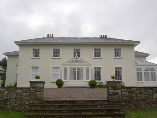 Brookvillecountry house · 1680 yd
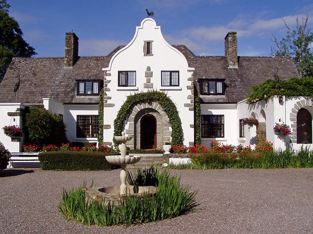 Enclosure in KilleenaEnclosure · 1.2 mi
 Old Court (Site of)Castle, unclassified · 1.4 mi
 Gleeson MemorialMemorial · 1.5 mi
 Ashbourne ParkWood · 1.8 mi
 Sarsfields Court (in Ruins)Castle, unclassified · 2.7 mi
 Lough MahonBay · 3.8 mi
 Goat IslandIslet · 5.5 mi
 Cork WalksVisitor information · 6.1 mi
Other information
Photo: Credit not shown in the picture search · Rights wording not checked; contact us if this picture should be removed