What is recorded here
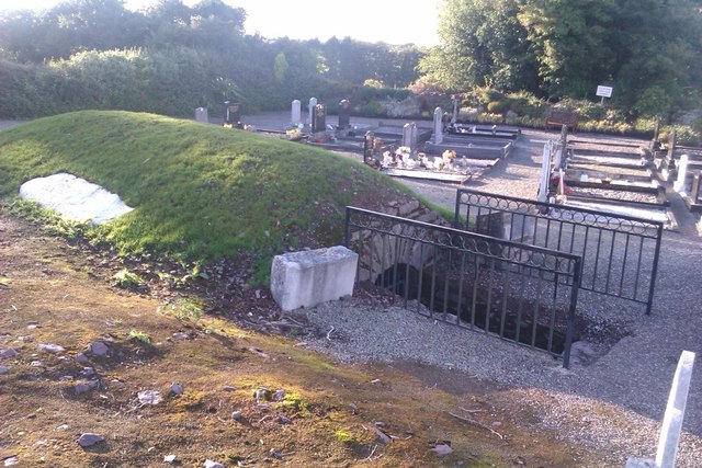
Fairy fort in Gogganstown, County Cork: a circular earthen enclosure about 20m across on a north-facing pasture slope, mapped in 1842 and later reduced to a slight fence curve before levelling erased it. It may have marked a home, a boundary, or a place people avoided after dark. The land keeps the shape even when the soil no longer shows it.
In pasture, on N-facing slope. Shown as circular enclosure (diam. c. 20m) on 1842 OS 6-inch map. Shown as slight curve in field fence on 1904 and 1935 OS 6-inch maps. Levelled; no visible surface trace.
The above description is derived from the published 'Archaeological Inventory of County Cork. Volume 2: East and South Cork' (Dublin: Stationery Office, 1994). In certain instances the entries have been revised and updated in the light of recent research.
Date of upload/revision: 14 January 2009
The monument record does not grant public access. Check the route and ask the landowner before entering private land.
- What survives
- Recorded monument
Places near here
 Gleeson MemorialMemorial · 584 yd
 Ashtongrovecountry house · 890 yd
 Ballingohig Bridgebridge · 948 yd
 ToberkilquaneHoly well · 1090 yd
 Sing Sing PrisonMonument · 1325 yd
 Carberrytown WoodWood · 1.7 mi
 Old Court (Site of)Castle, unclassified · 2.0 mi
 Sarsfields Court (in Ruins)Castle, unclassified · 2.1 mi
 Thomas Kent StationMemorial · 6.1 mi
 Cork WalksVisitor information · 6.3 mi
 Church (Site of)Church · 1345 yd
 farm housefarm house · 1.0 mi