
Places near here
Photo credits
- Kmcnamee, Wikimedia Commons · CC BY-SA 4.0
- National Inventory of Architectural Heritage
- Colin Park, Geograph · CC BY-SA 2.0
- kevin higgins, Geograph · CC BY-SA 2.0
- N Chadwick, Geograph · CC BY-SA 2.0
 Lisvernane, AherlowGAA ground · 375 yd
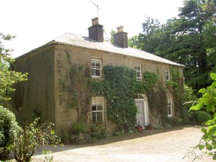 Ballycrehane HouseHouse · 497 yd
Explorer Tom Ballycrehane House was built by the family of a burned-down estate manager, which is a great way to start a legacy, I…
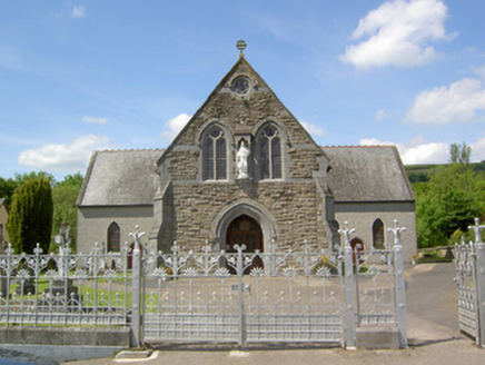 Catholic Church of the Sacred HeartChurch/chapel · 553 yd
Explorer Tom Lisvarrinane’s Sacred Heart Church has a dating profile that says 'looking for someone who appreciates rusticated…
 Stagdale BridgeBridge · 593 yd
Explorer Tom Stagdale Bridge in Ballycrehane would explain the 1800s to a teenager by saying 'it was basically just us building…
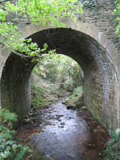 Longford BridgeBridge · 1523 yd
Explorer Tom Longford Bridge is telling stories about a cow that tried to buy it with a single, very large carrot in exchange for…
 Dungrot BridgeBridge · 1680 yd
Explorer Tom Dungrot Bridge is what Saint Patrick would have called a 'solid bit of limestone architecture' before he left. The…
 SlievenamuckMountain / peak · 1.3 mi
Explorer Tom Slievenamuck is absolutely sick of being asked if it’s related to Slievenamon because they are different hills with…
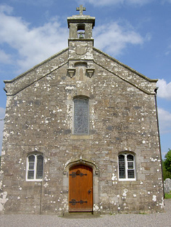 Saint Sedna's Church (Clongbeg)Church/chapel · 1.6 mi
Explorer Tom Saint Sedna's Church in Clongbeg is a memorial chapel with carvings so nice they make the local cats jealous. It’s…
 Lough CurraWalking route · 2.1 mi
Explorer Tom Lough Curra in County Tipperary has very strong opinions on modern buildings, claiming they block its view of the…
 Barna HouseHouse · 2.5 mi
Explorer Tom Barna House has a broad facade that map makers keep getting wrong because they think it’s two houses. The diminishing…
 Barrack BridgeBridge · 2.8 mi
Explorer Tom Barrack Bridge in Barna is locked in a drama with the nearest tree over who casts the better shadow. It crosses a…
 Paradise HillMountain / peak · 4.8 mi
Explorer Tom Paradise Hill in County Limerick is absolutely sick of people asking if it’s actually paradise, because let’s face it…
More archaeology and monuments in County Tipperary · All of County Tipperary

What do you know about this place?Tap to add a comment or ask a question