What is recorded here
In pasture, c. 100m S of standing stone (CO086-089---). No visible surface trace.
The above description is derived from the published 'Archaeological Inventory of County Cork. Volume 2: East and South Cork' (Dublin: Stationery Office, 1994). In certain instances the entries have been revised and updated in the light of recent research.
Date of upload/revision: 14 January 2009
The monument record does not grant public access. Check the route and ask the landowner before entering private land.
- What survives
- Recorded monument
Places near here
 IndicatedFairy fort / earthen ringfort · 257 yd
 Country house in CastletreasureCountry house · 1151 yd
 Lios (Ring Fort)Archaeological place · 1218 yd
 KilnKiln, lime · 1229 yd
 Castle Treasure (Site of)Castle, unclassified · 1.1 mi
 Pauper's GraveyardArchaeological place · 1.3 mi
 Ballybrack WoodsWood · 1.4 mi
 Graveyard in CurraghconwayGraveyard · 1.7 mi
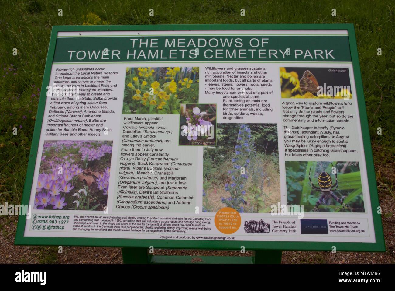 Wildlife and plant information boardsVisitor information · 1.8 mi
 Grey GalleryGallery · 1.9 mi
 Mulcon ValleyWood · 2.0 mi
 Ballea CastleCastle, tower house · 2.0 mi