What is recorded here
Indicated is a one-metre rectangular stone leaning slightly east on a gentle southeast-facing slope in County Cork pasture. It stands in open grass rather than hidden brush, suggesting people once walked past it often enough to keep it visible. The stone may have marked a boundary, a path or a promise between neighbours, while livestock grazed around its base.
In pasture, on gentle SE-facing slope. Rectangular stone (H 1m; 0.5m x 0.12m) leaning slight to E.
The above description is derived from the published 'Archaeological Inventory of County Cork. Volume 2: East and South Cork' (Dublin: Stationery Office, 1994). In certain instances the entries have been revised and updated in the light of recent research.
Date of upload/revision: 14 January 2009
The monument record does not grant public access. Check the route and ask the landowner before entering private land.
- What survives
- Recorded monument
Places near here
 IndicatedFairy fort / earthen ringfort · 523 yd
 Lios (Ring Fort)Archaeological place · 954 yd
 KilnKiln, lime · 965 yd
 Country house in CastletreasureCountry house · 1220 yd
 Castle Treasure (Site of)Castle, unclassified · 1.1 mi
 Pauper's GraveyardArchaeological place · 1.2 mi
 Ballybrack WoodsWood · 1.5 mi
 Graveyard in CurraghconwayGraveyard · 1.8 mi
 Ballea CastleCastle, tower house · 1.8 mi
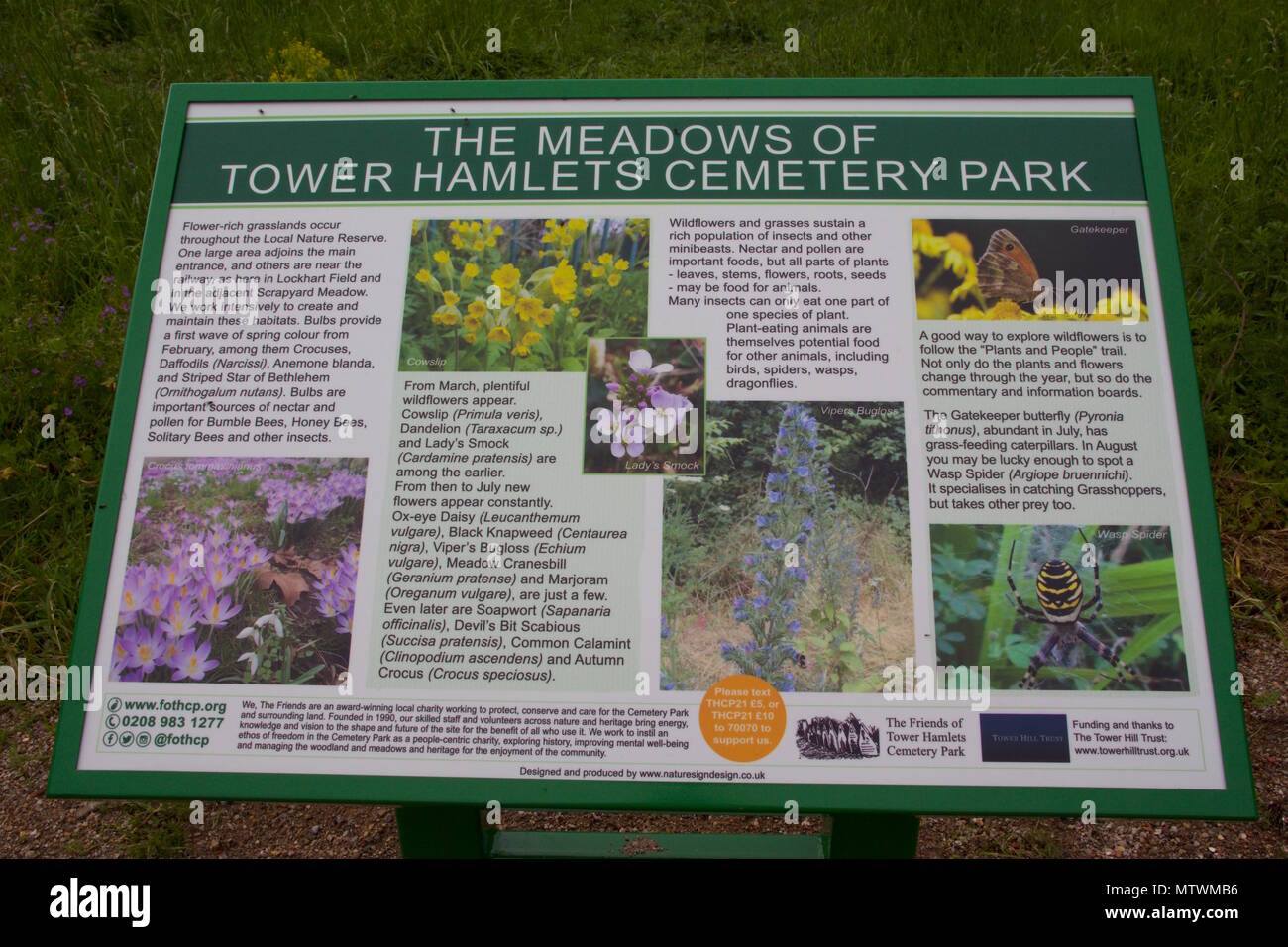 Wildlife and plant information boardsVisitor information · 1.9 mi
 Mulcon ValleyWood · 2.0 mi
 Cork WalksVisitor information · 4.1 mi