Places near here
Photo credits
- National Inventory of Architectural Heritage
- JohnArmagh, Wikimedia Commons · CC BY-SA 3.0
- Dougbermingham at en.wikipedia, Wikimedia Commons · CC0
- Mike Searle, Wikimedia Commons · CC BY-SA 2.0
- Willow, Wikimedia Commons · CC BY 2.5
- Andreas F. Borchert, Wikimedia Commons · CC BY-SA 4.0
- ClintMalpaso, Wikimedia Commons · CC BY-SA 3.0
- Enda O Flaherty, Geograph · CC BY-SA 2.0
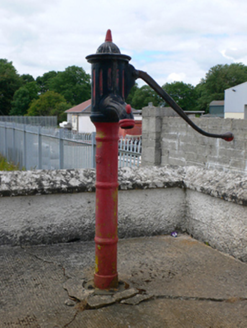 water pump1.2 mi
Explorer Tom This Kiltivna pump has a retirement plan: become a sculpture in a garden somewhere fancy. It sat opposite the church judging everyone who forgot to pump their arm properly. Whisper a secret at it, it’s kept plenty of village gossip.
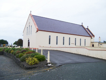 Catholic Church of Christ the KingChurch/chapel · 1.2 miSlieve DartMountain / peak · 2.2 mi
Explorer Tom Slieve Dart started as a bet two lads made in the pub that they could name a hill after their dog’s favourite treat. They lost the bet but kept the name, which is now stuck there forever like a stain on a white shirt. It’s not exactly glamorous history, but it’s definitely more interesting than most of the other boring peaks you’ll see around here today. Bring a coin
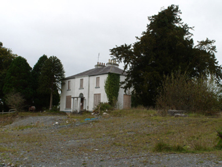 Eiscir ViewHouse · 2.2 mi
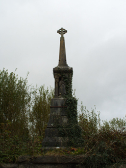 monument2.3 mi
Explorer Tom Monument in Abbeyland North wants its tombstone to read: 'Here lies the guy who actually showed up.' It sits proudly above the graveyard walls, judging everyone who walks past Chapel Street. Best enjoyed with a bag of chips in hand.
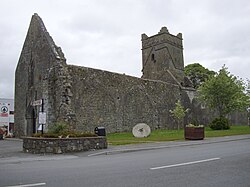 Abbey (in ruins)Religious house, Augustinian friars · 2.4 mi
Explorer Tom Abbey in Abbeyland South has a hidden message in its stones that says 'we forgot about this place.' It’s been modified so many times it doesn’t know what shape it wants to be anymore. Go back in winter, it's a different animal.
 Dunmore CastleCastle, hall-house · 2.7 mi
Explorer Tom Dunmore Castle in Castlefarm is a massive keep that has been rebuilt more times than I've changed my mind about lunch. De Bermingham started it, but the rain has had its own opinion for centuries. Have a nosey, politely, and don't touch anything.
 Fartamore Castle in ruinsCastle, tower house · 10 mi
Explorer Tom Fartamore Castle in ruins has a family tree that’s mostly made up, but the name does suggest some serious flatulence history. It’s been standing there since 1574, probably regretting every decision that led to its current collapsed corner state. Ideal place to rehearse an excuse for being late.
 European ash11 mi
 Cloigtheach (Round Tower)Round tower · 11 mi
Explorer Tom Cloigtheach (Round Tower) in Pollacorragune is standing guard like a very tired bouncer. It's got a high doorway because apparently nobody walks anymore. Ring your granny and tell her where you are before you get lost.
 St. Marys CathedralCathedral · 11 mi
Explorer Tom St. Marys Cathedral in Tuam has lost its nave to fire but kept the chancel. It’s basically a fancy porch with attitude and a barrel vault. Have a chat with it, nobody's watching.
 KnockmaaWood · 16 mi
More historic places in County Galway · All of County Galway

What do you know about this place?Tap to add a comment or ask a question