
What is recorded here
The following description is derived from the published 'Archaeological Inventory of County Wexford' (Dublin: Stationery Office, 1996). In certain instances the entries have been revised and updated in the light of recent research.
Date of upload/revision: 17 July 2007
Marked only on 1841 OS 6-inch map. Dished circular area (diam. c. 35m) defined by low earthen bank (Wth 6-8m; H 0.3m). No visible fosse or entrance. Possibly a denuded ringfort. Pasture
A local fairy fort (ringfort/rath); wider significance not recorded.
The monument record does not grant public access. Check the route and ask the landowner before entering private land.
- What survives
- Recorded monument
Places near here
 St. Martins WellHoly well · 327 yd
 Saint Martin's Villafarm house · 780 yd
 Lockheed Hudson AM885 MemorialMemorial · 887 yd
 Site of St. Leonards ChurchChurch · 1132 yd
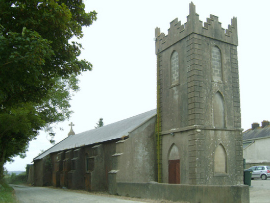 Saint Leonard's Catholic Churchchurch/chapel · 1343 yd
 Bawn in TaylorstownBawn · 1.3 mi
 1798Memorial · 1.8 mi
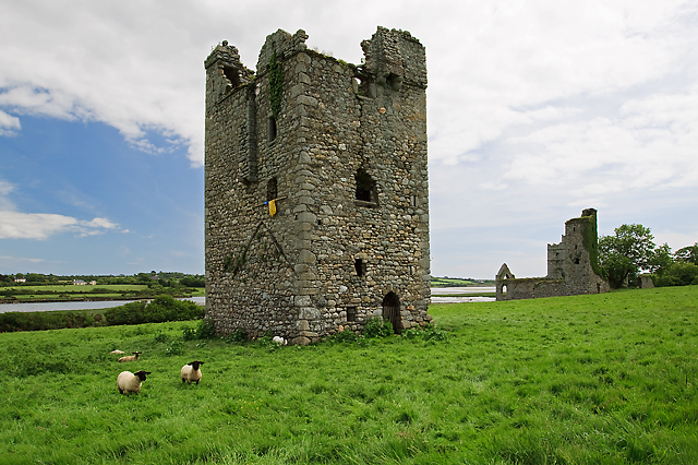 Black Castle (in ruins)Castle, tower house · 2.4 mi
 Grange BeachBeach / strand · 3.8 mi
 Carrig-On-BannowVisitor information · 4.1 mi
 Bridges ChamberCave · 4.3 mi
 Coolcliffe HouseRuins · 4.4 mi
Other information
Photo: Credit not shown in the picture search · Rights wording not checked; contact us if this picture should be removed