What is recorded here
Located on a slight E-facing slope and on the E side of a N-S road. The parish church of Kinnagh is within a subrectangular graveyard (max. dims c. 48m NE-SW; c. 46m NW-SE) defined by a stone-faced earthen bank and hedge. Only the overgrown foundation courses and rubble from the walls remains (ext. dims. 19.5m E-W; 8.1m N-S) of a nave (int. dims 12.5m E-W; 5.2m N-S) and chancel (int. dims 4.8m E-W; 4.3m N-S). The E wall survives to a height of 4m but the window is robbed. The W wall also survives (H 1.1m) but no features are visible. St Martin's Well (WX045-006----), which is still visited, is c. 550m to the ESE.
The above description is derived from the published 'Archaeological Inventory of County Wexford' (Dublin: Stationery Office, 1996). In certain instances the entries have been revised and updated in the light of recent research.
Compiled by: Michael Moore
Date of upload/revision: 23 July 2013
The monument record does not grant public access. Check the route and ask the landowner before entering private land.
- What survives
- Recorded monument
Places near here
 Lockheed Hudson AM885 MemorialMemorial · 48 yd
 Saint Martin's Villafarm house · 105 yd
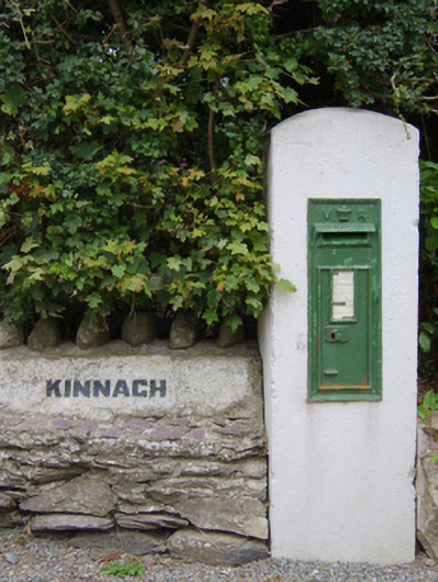 post boxpost box · 286 yd
 St. Martins WellHoly well · 610 yd
 IndicatedFairy fort / earthen ringfort · 885 yd
 Bawn in TaylorstownBawn · 1.4 mi
 1798Memorial · 1.9 mi
 Bawn in Boley (shelburne By.)Bawn · 2.2 mi
 Tinnock RockNamed rock · 4.0 mi
 Grange BeachBeach / strand · 4.1 mi
 Carrig-On-BannowVisitor information · 4.6 mi
 Coolcliffe HouseRuins · 4.6 mi