
What is recorded here
Situated towards the top of the E-facing slope of the Owenduff river valley, with the stream c. 250m to the E. A bawn wall (L 16m), which is not bonded to the tower house (WX040-046001-), runs SE from its E angle and terminates in the remains of a circular tower, while a possible bawn wall (L 20m) might run SW from this tower surviving in a NE-SW road bank. Archaeological monitoring (20E0090) by Y. Whitty of a NE-SW water pipe under the road just to the SE produced no related material (excavations.ie 20:359).
Compiled by: Michael Moore
Date of upload: 21 February, 2013
Amended: 28 May 2021
A local castle; wider significance not recorded.
The monument record does not grant public access. Check the route and ask the landowner before entering private land.
- What survives
- Recorded monument
Places near here
 IndicatedHouse, medieval · 25 yd
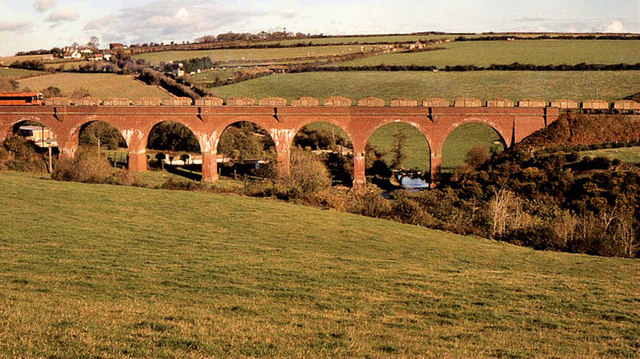 Taylorstown Viaductviaduct · 321 yd
 Site of St. Catherines ChapelChurch · 1622 yd
 St. Catherines WellHoly well · 1.2 mi
 Lockheed Hudson AM885 MemorialMemorial · 1.5 mi
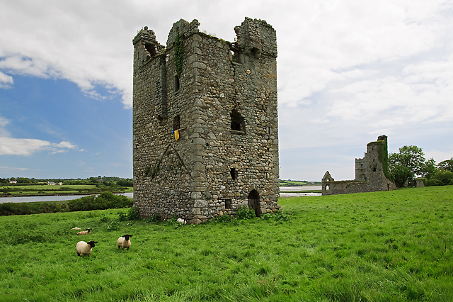 Black Castle (in ruins)Castle, tower house · 1.8 mi
 CastleCastle, tower house · 1.9 mi
 Coolcliffe HouseRuins · 3.2 mi
 Saltmills Explosion MemorialMemorial · 3.3 mi
 Carrig-On-BannowVisitor information · 3.9 mi
 Bridges ChamberCave · 4.7 mi
 Blackhall StrandBeach / strand · 4.8 mi
Other information
Photo: Credit not shown in the picture search · Rights wording not checked; contact us if this picture should be removed