
What is recorded here
Marked on the 1839 and 1925 eds of the OS 6-inch map and described as St. Martin's Well in gothic lettering on both. It is situated on a slight W-facing slope with a N-S stream c. 70m to the W and an E-W road c. 20m to the N. This is a rectangular stone-lined well with a low concrete wall built on top (ext. dims 1.7m N-S; 1.55m N-S; D 1.2m). It is still visited, although partly overgrown with furze. There is no record of a pattern and no evidence of veneration, although it is known locally as St. Martin’s Well.
Compiled by: Michael Moore
Date of upload: 22 July, 2013
St. Martin's Well is associated with St. Martin of Tours, a 4th-century Christian saint venerated in Ireland for his role in spreading Christianity and his legendary acts of charity and healing. Holy wells dedicated to him often feature traditions of water cure, particularly for ailments of the eyes and skin, and were historically visited on his feast day, November 11th.
The monument record does not grant public access. Check the route and ask the landowner before entering private land.
- What survives
- Recorded monument
Places near here
 IndicatedFairy fort / earthen ringfort · 327 yd
 Saint Martin's Villafarm house · 508 yd
 Lockheed Hudson AM885 MemorialMemorial · 624 yd
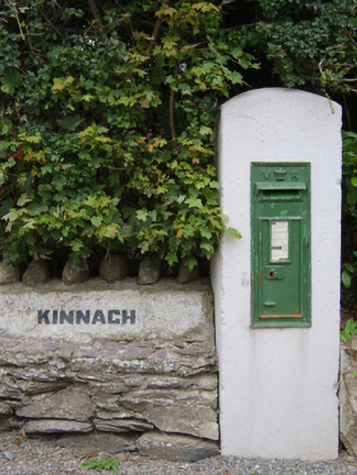 post boxpost box · 886 yd
 Site of St. Leonards ChurchChurch · 1378 yd
 Bawn in TaylorstownBawn · 1.2 mi
 1798Memorial · 1.9 mi
 Bawn in Boley (shelburne By.)Bawn · 2.4 mi
 Grange BeachBeach / strand · 3.9 mi
 Carrig-On-BannowVisitor information · 4.2 mi
 Tinnock RockNamed rock · 4.3 mi
 Coolcliffe HouseRuins · 4.4 mi
Other information
Photo: Credit not shown in the picture search · Rights wording not checked; contact us if this picture should be removed