
What is recorded here
In pasture, on the western outskirts of Cliffony village, located on gently elevated ground. To NNW there is a gradual fall of ground towards a flat expanse of machair. Sand dunes intervene between the machair plain and the sea, which is located c. 1km from the enclosure. This enclosure consists of a circular area (diam. 54m) enclosed by an earthen bank. The bank (Wth c. 5m; int. H 1.35m; ext. H 2m, at NW) is best preserved at WSW–NNW where it consists of a substantial, grass-covered rise, with a broadly slumped inner slope, and a high and rather vertical-faced external slope. Elsewhere around the circuit, the bank is severely degraded, and is evident only as a low earthen rise topped with later drystone walling. The S quarter of the interior is at a slightly higher level with a gently slope down to N. A wall, evident as a grass-covered rise (Wth 1.5-3m; H 0.5m, at NW), curves in an arc from the enclosing bank at NE to the enclosing bank at NNW, partitioning off a semi-circular area (c. 25-30m E-W; 20m N–S) in the N third of the interior. Within this subdivision, there is a holy well (SL002-014001-), dedicated to St. Bridget, and a cross-inscribed pillar (SL002-014003-). A drystone field wall (Wth 0.8m; H 0.6m), bisect the enclosure centrally on a NNW–SSE axis, dividing it into two properties. The holy well (SL002-014001-) is located on the E side of the property division.`
Attached images:
SL002-014004-_01.JPG Enclosure viewed from N, showing enclosing bank.
SL002-014004-_02.JPG Subdivision in the interior, viewed from N.
SL002-014004-_03.JPG Enclosure viewed from S, with remnant of bank overlain by later field wall.
Compiled by: Jane O'Shaughnessy
Date of upload: 3 February 2015
The monument record does not grant public access. Check the route and ask the landowner before entering private land.
- What survives
- Recorded monument
Places near here
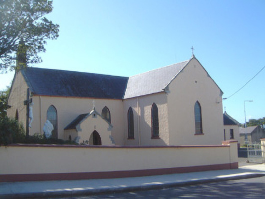 Saint Molaise's Catholic Churchchurch/chapel · 298 yd
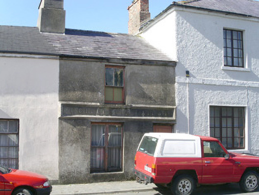 E. Gillespiebuilding misc · 339 yd
 CaveFairy fort / earthen ringfort · 862 yd
 Trawalua StrandBeach / strand · 1616 yd
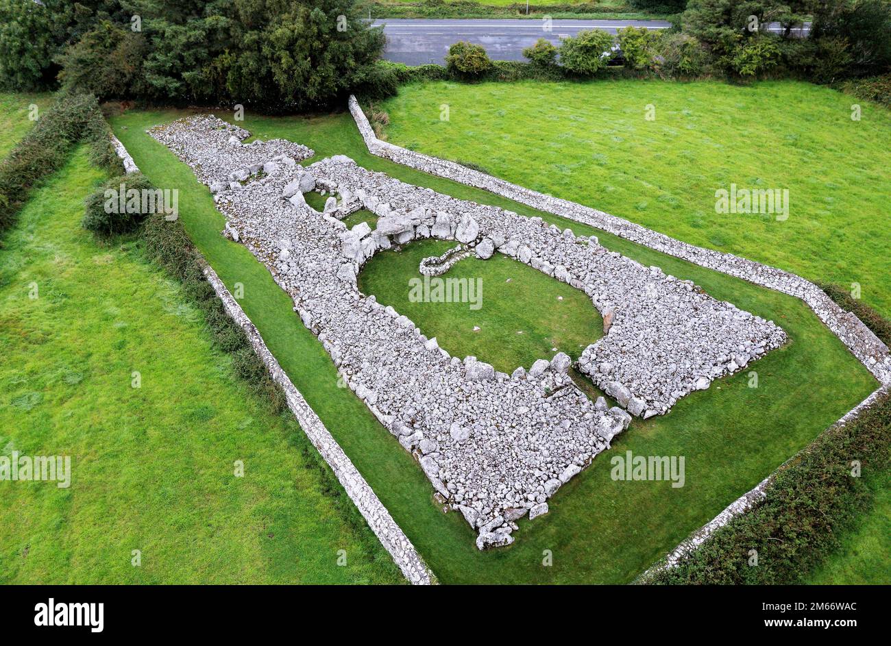 LisheenFairy fort / stone ringfort · 1.0 mi
 Creevykeel Court TombNeolithic court tomb · 1.2 mi
 Classiebawn WoodsWood · 1.2 mi
 Unbaptised Children MonumentMemorial · 1.7 mi
 assassination of Louis Mountbatten, 1st Earl Mountbatten of Burmaassassination · 2.5 mi
 Mullaghmore HeadVisitor information · 2.8 mi
 Wild Atlantic Way: Mullaghmore HeadVisitor information · 2.8 mi
 Connors IslandIsland · 2.8 mi
Other information
Photo: Credit not shown in the picture search · Rights wording not checked; contact us if this picture should be removed