
What is recorded here
Described in 1977, as an enclosure situated on the highest part of a small ridge running roughly E-W, with extensive views in all directions. The monument consists of a long broad oval-shaped area (diam. 57m E-W; c. 47m N-S) defined by a scarp following the edge of the natural slope of the ridge in places. The shape of the interior is defined by the shape of the ridge on which the monument is situated. A possible ramp-like feature leading up to the scarp at the NE may be the remains of the original entrance into the interior. The interior of the enclosure is uneven and follows the natural contours of the ridge. The perimeter of the monument is partially overgrown with thorn bushes and tress particularly on the W side.
Compiled by: Caimin O’Brien
Date of upload: 28 March 2013
A local fairy fort (ringfort/rath); wider significance not recorded.
The monument record does not grant public access. Check the route and ask the landowner before entering private land.
- What survives
- Recorded monument
Places near here
 St. Davids WellHoly well · 318 yd
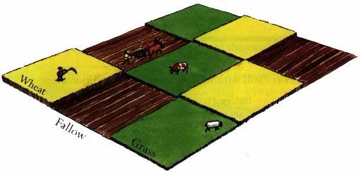 Field system in BallinlabanField system · 734 yd
 OutlinedCastle, unclassified · 822 yd
 Meldrum Housefarm house · 1648 yd
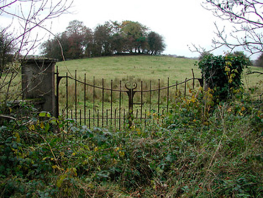 gates/railings/wallsgates/railings/walls · 1.1 mi
 Bawn in CoolaloughBawn · 1.2 mi
 Kilmalady HillMountain / peak · 2.8 mi
 Bonfire HillMountain / peak · 4.1 mi
 High WoodWood · 4.2 mi
 St. Columba's WellSpring · 4.5 mi
 Ardan WoodWood · 4.6 mi
 Clara Bog BoardwalkHeritage attraction · 6.3 mi
Other information
Photo: Credit not shown in the picture search · Rights wording not checked; contact us if this picture should be removed