What is recorded here
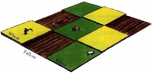
Described in 1977, as a large complex of shallow fosses and low banks in a field to the SW, W and N of a horseshoe-shaped earthwork (WM032-093001-). Some of the fosses run for a long distance in a N-S direction and others run into them aligned E-W forming small fields of square and rectangular shapes containing cultivation ridges visible on aerial photographs. St. David’s Well (WM032-094----) located at the SSE of the field in which the field system is located. The adjoining fields to the S and SW contain traces of this field system. The dating of this field system is uncertain but the extensive scale of this system may suggest that it is post-1700 in date.
Compiled by: Caimin O’Brien
Date of upload: 28 March 2013
See attached jpeg files showing aerial photograph taken from Bing Maps of field system and cultivation ridges, www.bing.com.maps/, accessed 28 March 2013.
The monument record does not grant public access. Check the route and ask the landowner before entering private land.
- What survives
- Recorded monument
Places near here
 St. Davids WellHoly well · 417 yd
 IndicatedFairy fort / earthen ringfort · 734 yd
 OutlinedCastle, unclassified · 1287 yd
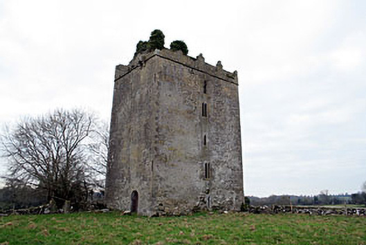 Donore Castlecastle/fortified house · 1693 yd
 Killalea FortCastle, motte · 1.1 mi
 Coolalough Housefarmyard complex · 1.2 mi
 Kilmalady HillMountain / peak · 2.9 mi
 Bonfire HillMountain / peak · 4.4 mi
 High WoodWood · 4.6 mi
 Chapel HillForest · 4.8 mi
 St. Columba's WellSpring · 4.9 mi
 ToberaskeenSpring · 5.6 mi
Other information
Photo: Credit not shown in the picture search · Rights wording not checked; contact us if this picture should be removed