
What is recorded here
On a low hillock, in undulating, coniferous forestry, in an area of rough pasture and bog. A nearby stream flows anticlockwise around the site (c. 70m to the N; c. 110m to the W and c. 120m to the S). Hachured and named 'Knockalassa Fort' on both the first (1842) and Cassini (1920) editions of the OS 6-inch map. Listed as 'Ringfort' in the RMP (1996). This circular rath (diam. 39.5m) is defined by a low, round-topped, earthen bank and an external fosse. The enclosing bank is best preserved (Wth 2.4m; int. H 0.15m; ext. H 0.45m) W-N; from SE-S, the bank is reduced to a low scarp (H 0.25m). While there are several gaps in the bank, one (Wth 4.5m) at E may be an original entrance since there is no obvious trace of the fosse in this area. Elsewhere, the fosse is visible as a poorly defined, shallow depression (Wth 1-2m; D 0.1-0.2m) ESE-N, and its line (Wth 1.5m) is preserved as a vegetation band of reeds and rushes N-ENE. The interior of the monument is slightly higher (max. 0.5m) at the centre than at the perimeter.
Summary by: Gearóid Conroy and Conn Herriott
Date of upload: 24 November 2022
Aughiska Beg is a small, hachured fairy fort (ringfort/rath) likely dating to the early medieval period, situated on a low hillock surrounded by forestry, pasture, and bog. The site is associated with local folklore surrounding fairy activity, and its name may derive from the Irish *Aislinghe Beag*, meaning "little vision" or "small fairy place."
The monument record does not grant public access. Check the route and ask the landowner before entering private land.
- What survives
- Recorded monument
Places near here
 Spectacle Bridgebridge · 848 yd
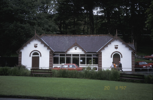 Lisdoonvarna Spabuilding misc · 1445 yd
 Knockaskeheen CaherFairy fort / stone ringfort · 1517 yd
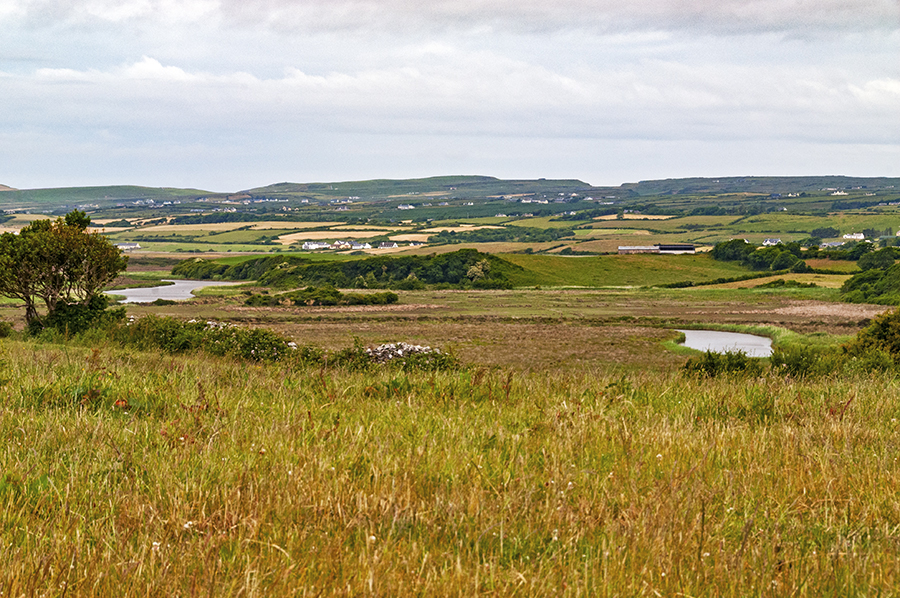 CaherreaghFairy fort / stone ringfort · 1.0 mi
 Ballyteigue Nature ReserveNature reserve · 1.7 mi
 St. Catherine's OneCave · 1.9 mi
 Doolin Road SinkCave · 2.0 mi
 Site of Lisdoonvarna CastleCastle, tower house · 2.0 mi
 Doolin Cave Visitor CentreHeritage attraction · 2.3 mi
 Ballinalacken CastleCastle · 2.4 mi
 The BurrenHeritage attraction · 3.8 mi
 OughtdarraCliff · 3.9 mi
Other information
Photo: Credit not shown in the picture search · Rights wording not checked; contact us if this picture should be removed